filmov
tv
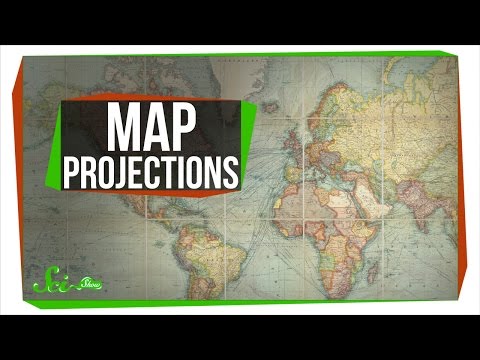
Map Projections Explained
Показать описание
Correction: The azimuthal equidistant projection is actually defined by θ = a and r = 90° - b. I got b mixed up with phi.
This video was made for 3blue1brown's summer of math exposition contest. It was selected as one of the top 100, and that has really helped kickstart my channel, so a huge thank you goes out to 3blue1brown.
Note: If the title changes, it's because I'm testing out different video titles to see what works the best.
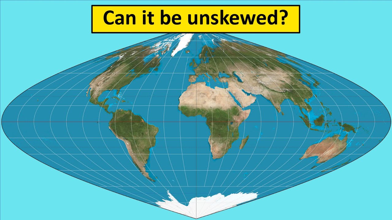
In this video, I explain map projections: what they are, how they work, and the math behind them. This video connects 2 of my favorite subjects: math and geography. If you want to do further research, this wikipedia page is very helpful:
The images of each projection come from that page, and are made by Daniel R. Strebe.
Chapters:
0:00 Intro
0:41 The Problem
3:37 Equirectangular Projection
7:15 Literal Projection
9:49 Mercator Projection
18:51 Sinusoidal Projection
21:24 Lambert Equal Area Projection
23:33 Azimuthal Equidistant Projection
24:30 Compromises
29:30 Perspectives
31:21 Conclusion
This video was made for 3blue1brown's summer of math exposition contest. It was selected as one of the top 100, and that has really helped kickstart my channel, so a huge thank you goes out to 3blue1brown.
Note: If the title changes, it's because I'm testing out different video titles to see what works the best.
In this video, I explain map projections: what they are, how they work, and the math behind them. This video connects 2 of my favorite subjects: math and geography. If you want to do further research, this wikipedia page is very helpful:
The images of each projection come from that page, and are made by Daniel R. Strebe.
Chapters:
0:00 Intro
0:41 The Problem
3:37 Equirectangular Projection
7:15 Literal Projection
9:49 Mercator Projection
18:51 Sinusoidal Projection
21:24 Lambert Equal Area Projection
23:33 Azimuthal Equidistant Projection
24:30 Compromises
29:30 Perspectives
31:21 Conclusion
 0:07:37
Map Projections Explained - A Beginners Guide
 0:12:54
Map Projections Overview and How They Distort the Earth
 0:06:00
Why all world maps are wrong
 0:04:58
Why every world map is wrong - Kayla Wolf
 0:08:09
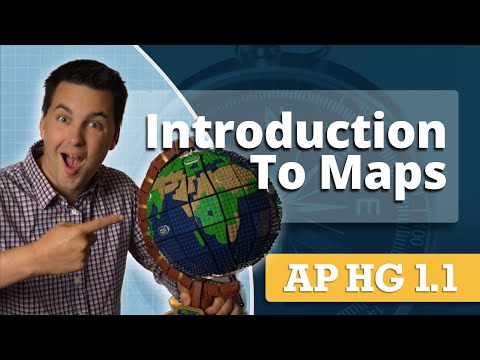
Types of Map Projections [AP Human Geography]
 0:33:00
Map Projections Explained
 0:08:31
Map Projections: A Video Lecture
 0:00:41
Mercator projection
 0:00:43
Map Projections – Why Do We Have Different Maps of the Earth? #kurzgesagt #shorts
 0:01:00
All Maps Lie! The Mercator Projection, The Most Commonly Looked at Map In The World, isn't So R...
 0:13:21
How do Map Projections Work?
 0:10:22
Map Projections & Types of Maps [AP Human Geography Review: Unit 1 Topic 1]
 0:12:55
A Strange Map Projection (Euler Spiral) - Numberphile
 0:04:33
Can You Make an Accurate Map?
 0:00:26
UTM Projections
 0:02:25
Mercator Projection Explained (Why Does Greenland Look So Big On A World Map)
 0:10:48
What Does Earth Look Like?
 0:06:16
Why every world map is wrong
 0:09:58
Cartography, Projections and Scales
 0:04:52
Map Projections: Understanding Maps- Part 1
 0:18:36
Map projections in GIS (theory)
 0:05:46
Types of Map Projections
 0:06:20
How the World Map Looks Wildly Different Than You Think
 0:01:00
The map projection song
Комментарии