filmov
tv
Map projections in GIS (theory)

Показать описание
This video explains what map projections are and how to use them in a practical way in geographic information systems. You'll learn about different projections, how to convert from degrees, minutes, seconds to decimal degrees, how to use EPSG codes, false norting, false easting, UTM and much more.
Subscribe to the YouTube Channel for updates!
Subscribe to the YouTube Channel for updates!
 0:18:36
Map projections in GIS (theory)
 0:08:03
Projections in GIS
 0:09:58
Cartography, Projections and Scales
 0:06:02
Common map projections in GIS
 0:00:41
Mercator projection
 0:12:54
Map Projections Overview and How They Distort the Earth
 0:08:09
Types of Map Projections [AP Human Geography]
 0:24:16
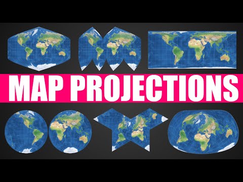
Different map projections
 0:31:27
GIS APPLICATIONS IN CIVIL ENGINEERING- Map Projections Part 1
 0:13:21
How do Map Projections Work?
 0:07:30
Understanding Coordinate Systems & Map Projections in GIS: A Complete Guide
 0:08:31
Map Projections: A Video Lecture
 1:02:54
GIS Lecture 6 Map Projections
 1:02:41
Introducing Coordinate Systems and Map Projections
 0:09:43
GIS Coordinate Reference Systems
 0:16:41
Map Design in GIS (theory)
 0:06:46
Map Projections
 0:00:32
Map Projections - Spatial Snapshots
 0:08:45
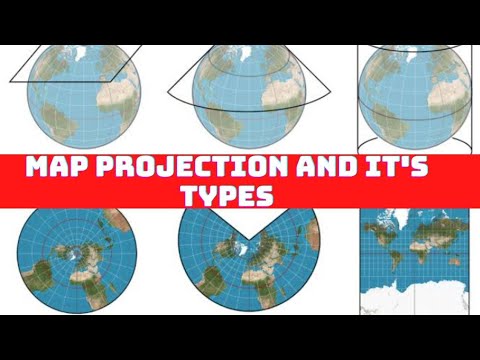
Map Projection and it's Types | Cylindrical, Conical and Zenithal Projection |Cartography|Urdu/...
 0:27:56
Map Projections in ArcGIS
 0:07:28
Map Projection Distortion
 0:15:35
Introduction to Projections - GIS Fundamentals and Mapping (18)
 0:12:16
Map Projections: The Preservation of Information - GIS Fundamentals and Mapping (19)
 0:08:57
'Geographic Coordinate Systems' and 'Projected Coordinate Systems' in ArcGIS an...
Комментарии