filmov
tv
Create Accurate Maps with Blender GIS and QGIS

Показать описание
In this video we use QGIS and Blender GIS to import maps, heightmaps, and OSM data accurately into Blender.
QGIS:
ESRI map service (XYZ tiles):
WKT Reference Text (enter your latitude and longitude):
PROJCS["Orthographic",
GEOGCS["GCS_WGS_1984",
DATUM["WGS_1984",
SPHEROID["WGS_1984",6378137,298.257223563]],
PRIMEM["Greenwich",0],
UNIT["Degree",0.0174532925199433]],
PROJECTION["Orthographic"],
PARAMETER["latitude_of_origin", ],
PARAMETER["central_meridian", ],
PARAMETER["false_easting",0],
PARAMETER["false_northing",0],
UNIT["Meter",1]]
Blender GIS:
OpenTopography:
Tape Measure Model:
Earth Globe Model:
 0:18:57
Create Accurate Maps with Blender GIS and QGIS
 0:03:28
How to Create Topographic Maps with Blender
 0:01:10
Make Cities with Blender - Lazy Tutorials
 0:12:17
How to Create 3D Terrain with Google Maps and Blender!
 0:05:24
Blender Earth Modeler Add-on | 3D Google Earth (City/Terrain) inside Blender
 0:15:42
How To Create PERFECT Depth Maps In Blender [COMPLETE TUTORIAL]
 0:00:57
Blender has been tilted for 14 years 🫣 #b3d
 0:10:53
FREE Add-On for Google Maps Cities in Blender!
 0:01:32
How to make product visualization in blender
 0:01:14
STOP DOING THIS TO YOUR RENDERS! - (Blender Tutorial)
 0:16:02
Bake PERFECT Displacement Maps (with blender)
 0:23:00
From Google Maps to Blender, my way
 0:49:35
Blender, QGIS & Digital Elevation Maps
 0:00:06
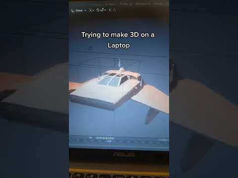
Using Blender on a Laptop be like..
 0:01:00
Lazy UV Mapping - In less than 1 Minute // Blender Quick Tip
 0:29:29
How I Make My Maps
 0:22:57
UV Unwrapping Explained for Beginners | Blender Tutorial
 0:01:40
Create Map Projections Fast (Blender Tutorial)
 0:37:07
How to Setup and Use Texture Maps for Beginners (Blender Tutorial)
 0:10:10
A different way of making 3D landscapes in Blender
 0:11:13
The secret of Normal maps in Blender 3 and 3D softwares
 0:39:11
How to Setup Texture Maps in Blender For Beginners (Tutorial)
 0:19:39
Maps in Blender 3.5: Custom Height Maps (DEM) + Color Maps (Photoshop, No Plugins, Blender 3.5)
 0:08:58
How to Create Real 3D Terrain in Blender | No Plugins | PremiumBeat.com
Комментарии