filmov
tv
Blender Earth Modeler Add-on | 3D Google Earth (City/Terrain) inside Blender

Показать описание
#blender #googleearth
**** From Imagiscope ****
July 2024 - beta testing is done. Limited first release coming soon.
Thanks for all your interest in this add-on.
This preview shows the basic power of the platform...but... we're not done 😉. We'll keep posting updates and address the timing of the beta program many of you expressed interested in.
R
*****
New Earth Modeler for Blender! Integrate 3D models from anywhere in the world into Blender. Fast, one click modeling using Google Earth data. Get it from the source - Google Earth.
Set location and the model is imported directly into your scene.
**** NOTE *****
This is a pre-release preview of the Add-on. Stay tuned here (hint: subscribe) for details when they are available.
This project is currently in development and testing. Please feel free to contact us through the about page for information on contributing to this project.
Thanks,
Rob
Imagiscope Technology is the software developer of the Earth Modeler Add-on for Blender.
 0:05:24
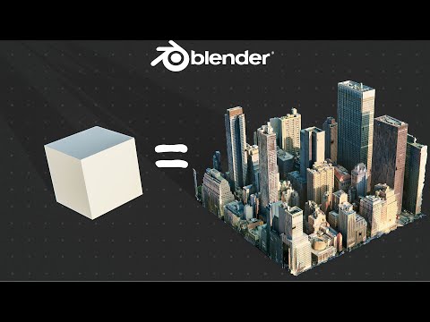
Blender Earth Modeler Add-on | 3D Google Earth (City/Terrain) inside Blender
 0:06:42
Earth Modeler Add-on for Blender Update - 3D Google Maps inside Blender
 0:10:53
FREE Add-On for Google Maps Cities in Blender!
 0:04:07
Google Maps to Blender - 2023 WORKFLOW [NO BS GUIDE]
 0:21:25
Earth Studio Tools for Blender - Free Add-on (w/ 3D KML import)
 0:04:33
Google Maps in Blender - BLOSM Addon
 0:10:00
What??! Creating 3D Buildings is THIS EASY
 0:05:40
Import Google Earth Models into your 3D Software
 0:01:11
How to Create the World in 1 Minute
 0:12:17
How to Create 3D Terrain with Google Maps and Blender!
 0:00:24
Blender Terrain in 2 CLICKS!
 0:04:56
Blender GIS
 0:12:05
Videoguide - Import Terrain, BlenderGIS, Google Maps, Landscape, Buildings, Geographic Information
 0:47:48
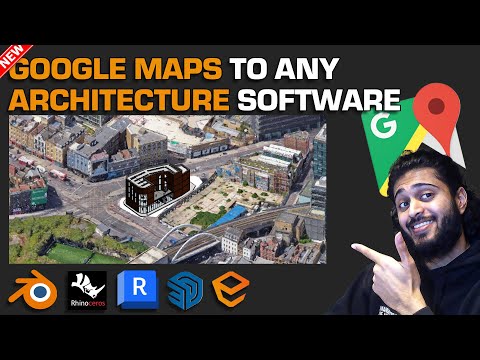
Get Google Maps 3D in Any Architectural Software (Tutorial - Updated method 2023)
 0:07:18
Create City in Blender in just a few clicks using Google maps
 0:14:07
🗺️Importando do Google Maps para o Blender
 0:01:01
Create Custom Buildings in Blender - Lazy Tutorials
 0:03:51
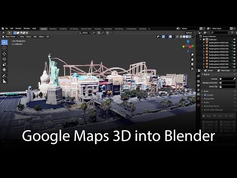
Google Maps 3D: Data into Blender
 0:12:06
Google 3D Maps in Blender importieren
 0:00:41
Extract 3D Content From Google Earth
 0:08:58
How to 3D print your CITY using Blender and Google Maps
 0:12:57
Blosm for Blender: Google 3D cities, OpenStreetMap, Terrain Add-On
 0:00:45
Google Earth in Blender
 0:00:46
Create the Moon in 46 Seconds in Blender!
Комментарии