filmov
tv
NASA Earthdata Webinar Series: Real-Life Uses of Radar Data for Real-Life Scientists

Показать описание
Looking for high-resolution data? With the ability of radar to "see" through clouds and to image day/night in all seasons, radar data can be a valuable tool providing landscape-level data when optical sensors cannot. View this webinar to learn more!
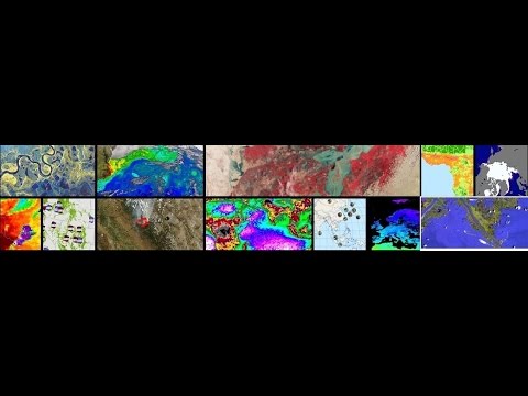
Measuring soil moisture, detecting glacier movement, and evaluating geohazards are among the wide range of applications scientists have been developing in recent years for synthetic aperture radar (SAR) data. With the ability of radar to "see" through clouds and to image day/night in all seasons, scientists are increasingly recognizing radar as a valuable tool providing high-resolution, landscape-level data when optical sensors cannot.
The NASA Alaska Satellite Facility Distributed Active Archive Center(DAAC) has 1.8 petabytes of processed radar data available at no cost to scientists, and radar format conversion software in place to facilitate use of the data by scientists working in a broad set of disciplines.
This webinar highlights radar usage results across disciplines and different fields, explains radar basics, and explores the expanding role of radar data in research and applications ranging from archeology, to wildlife habitat monitoring, to civil engineering—and much more.
 1:03:29
 1:05:28
 1:12:45
 1:09:32
 0:54:21
 0:59:40
 1:02:49
 1:06:31
 1:07:01
 1:09:06
 0:44:32
 0:58:03
 1:01:10
 0:47:26
 1:00:57
 0:09:29
 0:50:56
 1:16:24
 0:59:38
 1:08:16
 1:03:56
 0:49:54
 1:05:00
 1:10:01