filmov
tv
NASA Earthdata Webinar Series: Explore NASA Socioeconomic Data using Web Mapping Services

Показать описание
Interested in learning how to integrate socioeconomic and remote sensing data to explore human interactions in the environment?
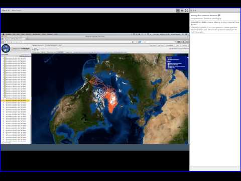
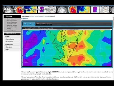
Join us for an overview of the NASA socioeconomic data holdings, services and tools. Web mapping services will be highlighted.
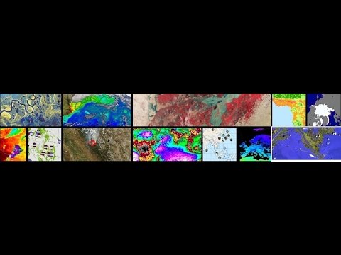
The NASA Socioeconomic Data and Applications Center (SEDAC) was established with a mission to develop data and applications that support the integration of socioeconomic and Earth science data. To accomplish this mission SEDAC distributes a wide variety of data, services and tools to its user communities. In this webinar we provide an overview of the geospatial data holdings and data access tools, and highlight ways this socioeconomic data can be integrated with remote sensing data to address problems such as: climate change and potential impacts on migration; health risks of air pollution; forecasting urban expansion and the impacts of that expansion on biodiversity and carbon pools.
Join us for an overview of the NASA socioeconomic data holdings, services and tools. Web mapping services will be highlighted.
The NASA Socioeconomic Data and Applications Center (SEDAC) was established with a mission to develop data and applications that support the integration of socioeconomic and Earth science data. To accomplish this mission SEDAC distributes a wide variety of data, services and tools to its user communities. In this webinar we provide an overview of the geospatial data holdings and data access tools, and highlight ways this socioeconomic data can be integrated with remote sensing data to address problems such as: climate change and potential impacts on migration; health risks of air pollution; forecasting urban expansion and the impacts of that expansion on biodiversity and carbon pools.
 1:09:32
 0:59:40
 0:49:54
 1:09:06
 1:03:56
 0:44:32
 0:47:38
 0:58:03
 0:54:21
 0:50:56
 1:07:01
 1:08:16
 0:47:26
 1:05:28
 1:05:00
 1:12:45
 1:06:31
 1:01:10
 1:12:02
 1:04:18
 0:51:24
 0:53:15
 1:16:24
 1:03:29