filmov
tv
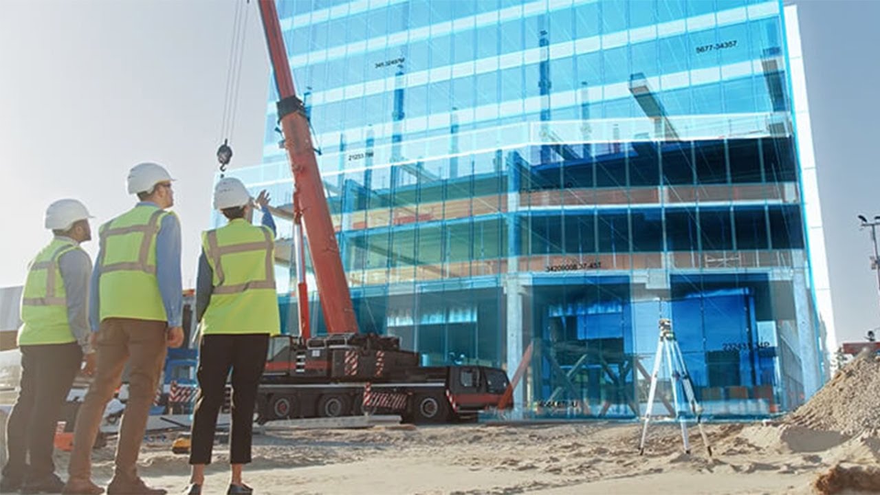
What is GEOBIM in Construction?
Показать описание
The integration of geospatial technologies and Building Information Modelling (BIM) is integral for the AEC industry enabling stakeholders across the industry’s value-chain and project workflow to take advantage of the relative scale of both GIS and BIM Model. It creates a binding synergy between spatial, technical and commercial data attributes, providing a much required seamlessness among different spatial and non-spatial datasets, a prerequisite for constructing a complex, connected, and sustainable infrastructure. #GEOBIM #Construction
 0:01:28
What is GEOBIM in Construction?
 0:03:36
Introducing ArcGIS GeoBIM
 0:05:09
ArcGIS GeoBIM
 0:20:28
What is GeoBIM? Digital Construction Week 2016: Steve Crompton
 0:08:55
BIM and GIS Integration: Bringing Together Geospatial Data and Design
 0:34:00
GIS, BIM or GEOBIM for Construction?
 0:32:39
GEOBIM Driving Digitalization of Construction and Engineering Industry
 0:15:47
ArcGIS GeoBIM for Powering Construction Digitalisation
 0:36:27
What is GeoBIM? BIM-GIS - Overview to Online Training Course
 0:03:08
Geofit: GEOBIM - Construction of BIM Models
 0:05:44
GEOBIM - BIM for Construction - Tuesday Presentation
 0:07:13
Discover the Capabilities of ArcGIS GeoBIM Application
 0:02:20
GeoBIM - Why Geospatial + BIM ?
 1:56:21
GEOBIM Webinar Geo spatial Technologies in Digital Construction:
 0:02:14
VolkerWessels: Pioneering Design to Construction Management
 0:02:21
GeoBIM - Presentation in English
 0:32:14
GeoBIM: A new era in digital engineering
 0:17:25
Leveraging GeoBIM for Smarter Health and Safety in Construction
 0:00:51
What are the 7 benefits of BIM (Building Information Modeling)
 0:01:05
Explore BIM Engineering with Tejjy Inc.
 0:00:57
ArcGIS GeoBIM
 0:02:22
BIM & GIS Cloud Collaboration - Integrating BIM Collaborate Pro and ArcGIS GeoBIM
 0:11:45
KRAUSMANN: REACTIVATION OF THE SIEMENSBAHN IN BERLIN- CONNECTING BIM AND GIS WITH ARCGIS GEOBIM
 0:01:28
Integrate GIS and BIM with Esri's GeoBIM
Комментарии