filmov
tv
Все публикации
0:21:52
Future Innovation in European Aerial Survey Industry | GW Prime Live
0:00:50
Role of AI/ML in Agricultural Forecasting #precisionfarming #shorts
0:25:36
Digital Technology Convergence Empowering Smart City Initiatives
0:07:37
Embracing One and All: Journey of Geospatial Through Time
0:36:45
Webinar on Trimble DA2 GNSS Receiver: Unleashing the Power Of Accuracy in India
0:32:36
Webinar on Visualizing Spatial Data at Scale with Tableau | Kinetica
0:01:33
Tracking Global Deforestation from Space
0:01:45
What is Geofencing and How Does it Works?
0:01:39
Why Indoor Maps are critical in case of emergency
0:02:19
What is Geospatial Intelligence or GEOINT?
0:03:47
Use of SAR data to Understand and Mitigate Natural Disasters
0:31:47
Webinar on Building Real - Time Location Intelligence Apps | Kinetica
0:02:01
Applications of Remote Sensing in Precision Farming
0:01:32
SAR Satellites for Disaster Management
0:01:50
Top ISRO Launches to Watch Out in 2023
0:01:29
How Robots are being used for grocery delivery
0:01:47
How AI is Transforming Remote Sensing Applications
0:02:09
Top 5 industries being redefined by AI
0:00:49
Indo-Pacific GeoIntelligence 2023 Conference Promo Video
0:01:18
What is a Point Cloud?
0:01:12
What is LoRaWAN Technology?
0:01:41
Five Benefits of Using Digital Twin in Construction Industry
0:01:29
What are the Five Free Sources of LiDAR Data?
0:01:17
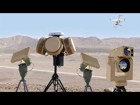
Four Most Effective Anti-Drone Techniques
Вперёд
 0:21:52
 0:00:50
 0:25:36
 0:07:37
 0:36:45
 0:32:36
 0:01:33
 0:01:45
 0:01:39
 0:02:19
 0:03:47
 0:31:47
 0:02:01
 0:01:32
 0:01:50
 0:01:29
 0:01:47
 0:02:09
 0:00:49
 0:01:18
 0:01:12
 0:01:41
 0:01:29
 0:01:17