filmov
tv
Introducing ArcGIS GeoBIM

Показать описание
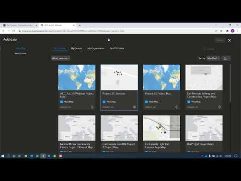
ArcGIS GeoBIM technology helps architects, engineers, construction teams and project owners design, build, and maintain smarter, sustainable infrastructure, cities, and communities for the future. A partnership between Esri and Autodesk, the map-based technology allows a broader view of any project to be considered. The easy-to-use web platform lets users design Building Information Modeling projects in a geospatial context. With ArcGIS GeoBIM, you can integrate GIS location-based technology and BIM data, linking maps, digital models, and project information in a single user experience. Keep your data organized, reduce file conversion time, and easily share information between teams and stakeholders when you use ArcGIS GeoBIM to put your projects on the map.
---------------------------------------------------------------------------------------------------
Follow us on Social Media!
---------------------------------------------------------------------------------------------------
Follow us on Social Media!
 0:03:36
Introducing ArcGIS GeoBIM
 0:02:25
Introducing ArcGIS GeoBIM from ESRI
 0:05:09
ArcGIS GeoBIM
 0:01:54
Introducing ArcGIS Platform
 0:06:03
Create ArcGIS GeoBIM Apps
 0:05:28
Prepare Your Data For Configuration of ArcGIS GeoBIM Apps
 0:07:13
Discover the Capabilities of ArcGIS GeoBIM Application
 0:00:57
ArcGIS GeoBIM
 0:09:04
Introducing ArcGIS for Teams
 0:02:15
Introducing ArcGIS Insights
 0:01:28
Integrate GIS and BIM with Esri's GeoBIM
 0:01:54
Introducing ArcGIS Platform
![[WEBCAST] ArcGIS GeoBIM:](https://i.ytimg.com/vi/yW3KJGpPWzE/hqdefault.jpg) 0:41:59
0:41:59
[WEBCAST] ArcGIS GeoBIM: la nuova frontiera del BIM-GIS
 0:02:22
BIM & GIS Cloud Collaboration - Integrating BIM Collaborate Pro and ArcGIS GeoBIM
 0:15:47
ArcGIS GeoBIM for Powering Construction Digitalisation
 0:01:34
Introducing ArcGIS Pro
 0:43:49
ArcGIS GeoBIM Webinar - 26th April 2022
 0:19:40
ArcGIS GeoBIM: Integration von GIS & BIM
 0:07:43
How BIM & GIS Integration sets you up for the demand of the future
 0:36:27
What is GeoBIM? BIM-GIS - Overview to Online Training Course
 1:02:00
Roadmap for BIM-GIS Interoperability
 0:07:46
Esri GIS Tech 2022 - Integraties (demo ArcGIS GeoBIM)
 0:01:28
What is GEOBIM in Construction?
 0:00:53
Introducing: ArcGIS Maps SDK for Unreal Engine
Комментарии