filmov
tv
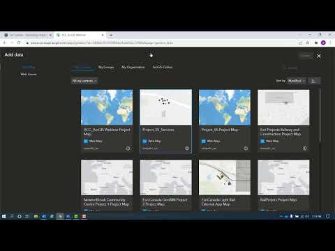
ArcGIS GeoBIM

Показать описание
-ArcGIS GeoBIM transforms AEC projects with geospatial context, allowing you to manage risks, costs, and timelines by connecting the building information modeling (BIM) process with location during the design, construction, and operation of large capital infrastructure.
GeoBIM enables teams to integrate and visualize project data in a single, cloud-to-cloud solution for making coordinated decisions with stakeholders.
This will support improvements in areas like:
-Documentation Review
-Issue Clustering
-Design Coordination
-Performance Dashboards
GeoBIM enables teams to integrate and visualize project data in a single, cloud-to-cloud solution for making coordinated decisions with stakeholders.
This will support improvements in areas like:
-Documentation Review
-Issue Clustering
-Design Coordination
-Performance Dashboards
 0:03:36
 0:05:09
 0:07:13
 0:06:03
 0:19:40
 0:04:56
 0:15:47
 0:01:28
 0:43:49
 0:02:25
 0:07:44
 0:05:28
 0:05:47
 0:00:57
 0:04:12
 0:08:55
![[WEBCAST] ArcGIS GeoBIM:](https://i.ytimg.com/vi/yW3KJGpPWzE/hqdefault.jpg) 0:41:59
0:41:59
 0:43:34
 0:07:27
 0:06:50
 0:47:40
 1:00:01
 0:00:54
 0:05:09