filmov
tv
Stream and Catchment Delineation in QGIS using SAGA Tools

Показать описание
Stream and catchment delineation in QGIS 3 using only Open Data (SRTM) and SAGA tools. Note that the SAGA tools can only be used with the SAGA NextGen plugin in recent versions of QGIS.
Subscribe to the YouTube Channel for updates!
Credits for OpenStreetMap data: © OpenStreetMap contributors
---------------------------------------------------------------------------------------------------------
Note that with the new dependencies in QGIS this will not work.
---------------------------------------------------------------------------------------------------------
#QGIShydro #QGIS #IHEDelft
 0:33:40
Stream and Catchment Delineation in QGIS using SAGA Tools
 0:23:24
Stream and Catchment Delineation in QGIS 3 using GRASS tools
 0:36:43
Complete Updated Workflow Stream and Catchment Delineation in QGIS
 0:12:25
Challenges with Stream and Catchment Delineation in QGIS?
 0:14:17
Automate Stream and Catchment Delineation in QGIS with the Graphical Modeler
 0:19:24
Tools for Stream and Catchment Delineation with QGIS
 0:09:33
Delineate watershed area in QGIS || Delineate catchment area in QGIS
 0:21:13
Stream and catchment delineation with GIS (theory)
 0:12:19
Watershed Delineation Using DEM Data (Full) - ArcGIS
 0:14:25
Deriving River Network and Catchments and Watershed Delineation from a DEM using QGIS
 0:05:00
Manual watershed delineation is a five-step process
 0:05:44
Hydrology: Watershed Delineation Example
 0:07:52
Watershed Delineation in ArcGIS | How to create Drainage Map
 0:25:54
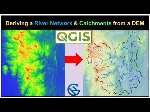
Deriving River Network & Catchments from a DEM using QGIS
 1:18:52
Streams and catchment delineation (in arabic)
 0:03:16
Watershed Delineation on paper
 0:17:50
Stream & Catchment Delineation with WhiteboxTools in QGIS
 1:08:48
Complete QGIS Watershed Delineation Tutorial
 0:18:54
Catchment Delineation & Stream Order Using QGIS
 0:02:54
Creating Stream order | Watershed delineation from DEM | Model_Builder | ArcGIS | Part -1
 0:25:49
Tutorial: Catchment delineation using PCRaster Python
 0:15:02
Catchment and Stream Delineation
 0:33:48
Deriving Rivers and Watersheds using ArcGIS Pro
 1:11:52
QGISHydro Webinar 4: Stream & Catchment Delineation
Комментарии