filmov
tv
Deriving Rivers and Watersheds using ArcGIS Pro

Показать описание
In this tutorial, you will learn how to delineate catchments and derive the associated river networks, with the help of a digital elevation model, which is also commonly known as a DEM, using ArcGIS Pro.
Watershed delineation is a crucial process in hydrological analysis, aiming to identify the boundaries of drainage basins based on the topography of the landscape. ArcGIS software provides powerful tools to perform this task effectively. By utilizing a digital elevation model (DEM), which represents the terrain's elevation values, ArcGIS enables the extraction of essential information for watershed delineation. The process typically involves using the hydrological analysis tools available in ArcGIS, such as "Fill," which removes depressions, and "Flow Direction," which determines the flow path of water across the terrain. The subsequent step involves computing the "Flow Accumulation," which quantifies the accumulated flow at each pixel, aiding in the identification of stream networks and catchment areas. Finally, the "Watershed" tool allows for the delineation of watershed boundaries by assigning each cell to its corresponding drainage basin. Through these integrated functionalities, ArcGIS facilitates the efficient and accurate delineation of watersheds, enabling researchers, planners, and environmental professionals to gain valuable insights into hydrological systems and make informed decisions for water resource management.
Watershed delineation is a crucial process in hydrological analysis, aiming to identify the boundaries of drainage basins based on the topography of the landscape. ArcGIS software provides powerful tools to perform this task effectively. By utilizing a digital elevation model (DEM), which represents the terrain's elevation values, ArcGIS enables the extraction of essential information for watershed delineation. The process typically involves using the hydrological analysis tools available in ArcGIS, such as "Fill," which removes depressions, and "Flow Direction," which determines the flow path of water across the terrain. The subsequent step involves computing the "Flow Accumulation," which quantifies the accumulated flow at each pixel, aiding in the identification of stream networks and catchment areas. Finally, the "Watershed" tool allows for the delineation of watershed boundaries by assigning each cell to its corresponding drainage basin. Through these integrated functionalities, ArcGIS facilitates the efficient and accurate delineation of watersheds, enabling researchers, planners, and environmental professionals to gain valuable insights into hydrological systems and make informed decisions for water resource management.
 0:33:48
Deriving Rivers and Watersheds using ArcGIS Pro
 0:14:25
Deriving River Network and Catchments and Watershed Delineation from a DEM using QGIS
 0:25:54
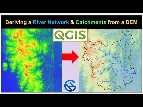
Deriving River Network & Catchments from a DEM using QGIS
 0:07:52
Watershed Delineation in ArcGIS | How to create Drainage Map
 0:15:16
Deriving Rivers and Streams using DEM data in QGIS
 0:19:14
Deriving River Network and Catchments and Watershed from a DEM using QGIS
 0:12:19
Watershed Delineation Using DEM Data (Full) - ArcGIS
 0:09:33
Delineate watershed area in QGIS || Delineate catchment area in QGIS
 0:13:24
Delineation of River Network and Watershed using QGIS| How to use DEM to delineate Drainage basin|
 0:03:16
Watershed Delineation on paper
 0:09:46
How to delineate Watershed Using Outlet Point in ArcGIS: Pour Point Hydrology
 0:10:49
How to determine Watershed, area, river in arcgis?
 0:11:49
River, Basin, sub basin shapefiles for any area of the world
 0:14:50
Watershed/ catchment extraction in ArcGIS Pro
 0:09:47
River Stream Order Map in ArcGIS | ArcGIS Tutorial 28
 0:26:15
ArcGIS complete course Watershed Delineation and Drainage line from DEM
 0:01:48
How to create streams and rivers from a DEM
 0:05:00
Manual watershed delineation is a five-step process
 0:02:58
Generate and download your watershed of interest using global watershed
 0:14:18
Stream Network and Catchments derive from DEM in QGIS | watershed delineation | GeoDev
 0:11:29
Watershed delineation ArcGIS, determine Catchment area using ArcMap
 0:42:06
River Network and Catchment Delineation from DEM using QGIS || Watershed Delineation
 1:08:48
Complete QGIS Watershed Delineation Tutorial
 0:21:13
Stream and catchment delineation with GIS (theory)
Комментарии