filmov
tv
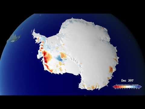
Greenland Land Ice Height Change as Measured by ICESat and ICESat-2

Показать описание
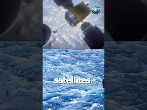
This visualization depicts changes in Antarctic land ice thickness as measured by the ICESat (2003-2009) and ICESat-2 (2018-) satellites. The camera zooms into a region near the Kamb ice stream to compare ICESat and ICESat-2 beam tracks. The beam intersections are highlighted to explain how the data at these points are used to measure how land ice has changed over time. After exploring a few regions in detail, the camera moves out to a global view and an ocean temperature dataset is revealed.
 0:01:12
 0:04:32
 0:02:45
 0:00:51
 0:13:09
 0:04:23
 0:02:58
 0:01:12
 0:00:37
 0:04:32
 0:13:56
 0:01:14
 0:06:34
 0:00:23
 0:00:16
 0:11:00
 0:25:29
 0:09:17
 0:00:38
 0:13:41
 0:00:20
 0:32:43
 0:30:42
 0:00:14