filmov
tv
Greenland Ice Mass Loss 2002-2023

Показать описание
The Greenland ice sheet's mass has rapidly declined in the last several years due to surface melting and iceberg calving. Research based on satellite data indicates that between 2002 and 2023, Greenland shed an average of 270 billion metric tons of ice per year, adding to global sea level rise.
These images, created from GRACE and GRACE-FO data, show changes in Greenland ice mass since 2002. Orange and red shades indicate areas that lost ice mass, while light blue shades indicate areas that gained ice mass. White indicates areas where there has been very little or no change in ice mass since 2002.
In general, higher-elevation areas near the center of Greenland experienced little to no change, while lower-elevation and coastal areas experienced over over 20 feet (6 meters) of ice mass loss (expressed in equivalent-water-height; dark red) over this 21-year period. The largest mass decreases occurred along the West Greenland coast.
The average flow lines (gray; created from satellite radar interferometry) of Greenland’s ice converge into the locations of prominent outlet glaciers and coincide with areas of highest mass loss. This supports other observations that warming ocean waters around Greenland play a key role in contemporary ice mass loss.
 0:00:51
Greenland Ice Mass Loss 2002-2023
 0:00:34
Greenland ice loss 2002-2016
 0:02:16
Greenland and Antarctic Ice Mass Loss 2002-2020
 0:00:37
Greenland Ice Mass Loss 2002-2020
 0:00:36
Ice-Mass changes in Greenland 2002-2023
 0:01:00
Greenland Ice Mass Loss 2002-2023 #youtubeshorts
 0:00:23
Greenland Ice Loss #shorts #greenland
 0:00:51
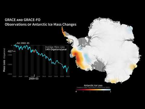
Antarctic Ice Mass Loss 2002-2023
 0:00:20
Iceberg Flips Over In Greenland
 0:00:51
Antarctic Ice Mass Loss 2002 2023
 0:04:28
Greenland’s Ice Is Dying And Scientists Are Alarmed! #facts #Greenland #ClimateChange
 0:00:22
Watch as Greenland's Glaciers Disappear
 0:02:32
Global Glacier Loss
 0:00:37
Antarctic Ice Mass Loss 2002-2020
 0:00:16
The melting of Greenland ice caps #greenland #melting #satelliteimagery #satellite
 0:30:42
Review Paper on Ice Sheet Loss on Greenland and Antarctic Ice Sheets
 0:00:59
Greenland Discovery Shows Ice Vulnerable to Rapid Melt
 0:02:15
Is it too late to save Greenland’s shrinking ice sheet? - BBC World Service
 0:08:24
3 MINUTES AGO! Ice sheets in Greenland, Antarctica are melting faster than previously thought
 0:01:09
Satellites Show Greenland Meltdown is Causing Seas to Rise
 0:00:50
Research: Placing Greenland's ice losses in a historical context | University at Buffalo
 0:00:08
A year of Greenland's surface melting and freezing
 0:00:40
Greenland's largest glaciers to melt faster than thought says study | AFP
 0:02:25
Researchers study melting ice sheets in Greenland
Комментарии