filmov
tv
Adding Google Imagery as a Basemap in ArcGIS Pro and ArcGIS Desktop

Показать описание
في هذا الدليل التعليمي الشامل، نستعرض الخطوات اللازمة لإضافة خدمات الصور الفضائية من Google كخريطة أساس في كل من ArcGIS Pro وArcGIS Desktop. تعلم كيفية دمج الصور الفضائية عالية الدقة من Google بسلاسة في مشاريع نظم المعلومات الجغرافية الخاصة بك، مما يعزز السياق البصري والتفاصيل لخرائطك. سواء كنت تعمل في مجال التخطيط العمراني، الدراسات البيئية، أو أي مجال يتطلب تصوراً جغرافياً دقيقاً، فإن هذا الدليل يضمن لك الحصول على المعرفة اللازمة لاستخدام الموارد الواسعة للصور الفضائية من Google ضمن بيئة ArcGIS. انضم إلينا لرفع قدراتك في رسم الخرائط وإضافة مستوى جديد من الوضوح إلى تحليلاتك الجغرافية المكانية.
In this comprehensive tutorial, we delve into the steps required to add Google Imagery services as a basemap in both ArcGIS Pro and ArcGIS Desktop. Learn how to seamlessly integrate high-resolution Google satellite imagery into your GIS projects, enhancing the visual context and detail of your maps. Whether you're working in urban planning, environmental studies, or any field requiring precise geographical visualization, this guide ensures you have the necessary knowledge to leverage Google's extensive imagery resources within the ArcGIS environment. Join us to elevate your mapping capabilities and bring a new level of clarity to your geospatial analyses.
Download Portable Basemap Server v3.1 from the following link :
 0:00:51
QGIS 3.0 Adding Google Imagery As A Layer
 0:02:45
How to Add Google Maps & Google Satellite as a Base Layer in QGIS3
 0:00:30
How to add Google Earth Imagery in QGIS Shorts #qgis #tutorial #googlemaps #googleearth
 0:06:02
adding google imagery and google maps in QGIS
 0:00:31
GIS 300 Adding Google Earth satellite imagery to QGIS 3.16
 0:03:23
How to add Latest Google Earth Satellite Imagery in ArcGIS
 0:03:55
How to add Google Earth Imagery as a base map in QGIS | How to add Google Earth Imagery in QGIS
 0:07:03
Adding Google Imagery as a Basemap in ArcGIS Pro and ArcGIS Desktop
 0:55:01
Land use Land cover change Using Google Earth Engine
 0:03:15
Import Google Satellite Imagery to QGIS (Version 3.x)
 0:12:47
155 add google imagery serves as a basemap in arcgis pro
 0:05:31
Add ESRI Imagery as Base map in QGIS | HCMGIS Plugin
 0:01:16
How to Add Google Map / Imagery / Hybrid Layer to a QGIS Map
 0:05:05
QGIS Tutorial || How to download Google Satellite Imagery in QGIS || BaseMap Download using QGIS
 0:06:14
How to add Latest Google Earth Satellite Imagery in ArcGIS
 0:10:39
Adding a Google Earth Image to AutoCAD (and Georeferencing)
 0:08:16
How to add Google Satellite imagery as a Base Map in Leaflet | GIS Data on Web with Leaflet API | 20
 0:01:34
How to Add Satellite Imagery into QGIS (2024)
 0:03:50
Adding Google satellite Imagery in SW Road V2 and SW Canal V2
 0:10:00
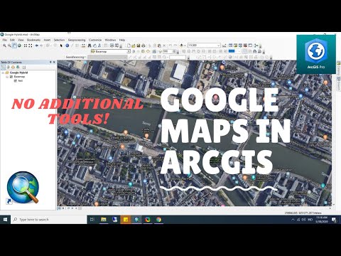
How to Add Google Maps and Imagery in ArcGIS Desktop or ArcGIS Pro Without Using Additional Tools
 0:02:46
Import Google Earth Imagery to QGIS (Version 2.x)
 0:07:56
How To Add OpenStreetMap And Google Satellite Imagery Base Map Layer In QGIS || Base Map || GeoFox
 0:06:29
How to add google satellite imagery to QGIS 3.21
 0:01:54
How to use the new Google Maps: Imagery
Комментарии