filmov
tv
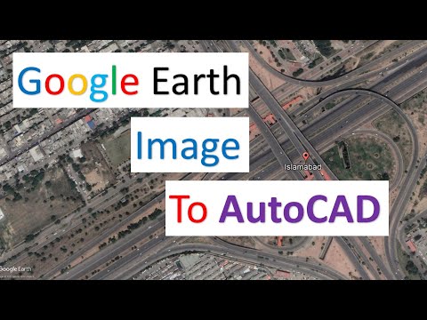
Adding a Google Earth Image to AutoCAD (and Georeferencing)

Показать описание
In this video, you will learn how to add a high-resolution image from Google Earth to AutoCAD, and how to georeference the image using two reference points within AutoCAD.
 0:04:09
Image overlay in Google Earth Pro
 0:10:39
Adding a Google Earth Image to AutoCAD (and Georeferencing)
 0:03:40
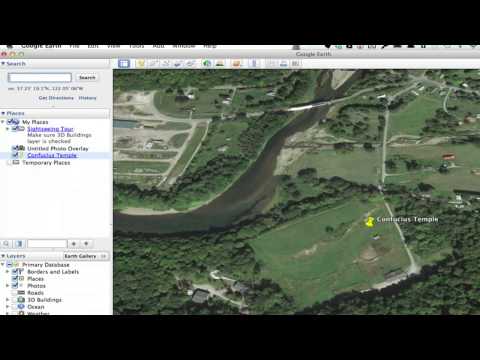
How to Insert Images on Placemark in Google Earth Pro
 0:03:59
Insert (Add) Photo to Google Earth Pro
 0:11:33
Using Google Earth Images in QGIS
 0:12:18
INSERTING GOOGLE EARTH IMAGE TO AUTOCAD | MAKE SITE PLAN IN AUTOCAD USING GOOGLE EARTH
 0:01:26
How to Add a Picture to a Placemark on Google Earth : Google & More Web Applications
 0:01:24
Adding a Photo in Google Earth
 0:03:43
How to add the latest Google Earth images to ArcGIS directly
 0:06:43
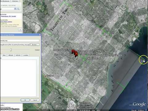
Overlaying Images Over Google Maps & Satellite Images Using Google Earth: Ep. 150
 0:04:34
Adding Google Earth Satellite Image/Google Maps and Work Faster in ArcGIS
 0:04:41
Google Earth Basics 16: Image Overlay Basics
 0:10:01
How to download Google Earth Image and Georeference it in ArcGIS software |Georeference ArcMap
 0:01:23
Add Google Maps or Google Earth Images in ArcGIS
 0:02:59
Uploading geotagged photos to Google Earth
 0:09:20
How to place ANYTHING in Google Earth 🌎
 0:04:28
How to add a legend in Google Earth. How to create and edit an image overlay on Google Earth Pro
 0:05:42
Get High Quality Images from Google Earth Tutorial
 0:01:56
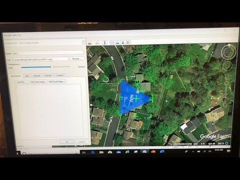
Adding Image Overlays in Google Earth
 0:08:53
How to Download and Georeferencing Google Earth Image in ArcGIS
 0:10:55
INSERTING GOOGLE EARTH IMAGE TO AUTOCAD | how to import google earth to AutoCAD?
 0:05:24
How to add directly Google Maps/Satellite Map/Google Earth in ArcGIS
 0:03:29
An Easy Way to Add Historic Maps to Google Earth
 0:00:35
Placing Google Earth image in ArchiCAD
Комментарии