filmov
tv
Add ESRI Imagery as Base map in QGIS | HCMGIS Plugin

Показать описание
In this video I will show you how to add ESRI imagery as a base map in QGIS. Lots of ESRI Base Maps can be added, like ESRI Imagery, ESRI Shaded Relief, ERSI Ocean, ESRI Street Map, ESRI Topographic, ESRI Terrain, Google Maps, Bing Maps. These Base Map can be added using Plugin HCMGIS.
 0:05:31
Add ESRI Imagery as Base map in QGIS | HCMGIS Plugin
 0:00:21
Clip basemap in Arcmap| SEE Lab
 0:03:00
Adding basemap in the ArcMap, ArcGis
 0:04:50
How to Add Bing, Esri Google maps or Ggoogle earth Satellite Image in ArcGIS (non commercial use )
 0:05:44
How to Get A High Resolution Imagery Basemap Export in ArcGIS Dekstop or ArcGIS Pro Layout
 0:01:06
opening ESRI geodatabase in QGIS
 0:11:16
How to Download High-Resolution Satellite Images Using QGIS Plugin: A Comprehensive Guide
 0:10:00
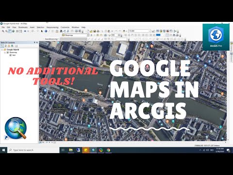
How to Add Google Maps and Imagery in ArcGIS Desktop or ArcGIS Pro Without Using Additional Tools
 0:19:46
How to Create Study Area Map Using Google Earth or ESRI Image in QGIS
 0:03:53
Base maps in ArcGIS Pro (ESRI)
 0:12:47
Adding Basemaps in QGIS - Google | ESRI | Bing | Waze | OSM
 0:07:56
How To Add OpenStreetMap And Google Satellite Imagery Base Map Layer In QGIS || Base Map || GeoFox
 0:05:06
Download high resolution satellite image using QGIS
 0:02:28
ArcMap Add Basemap is grayed out, FIXED RESOLVED
 0:04:57
Add Basemap in QGIS || What is Basemap in QGIS
 0:23:21
Georeferencing an Image or a Scanned Map using ArcGIS Pro
 0:06:14
How to add Latest Google Earth Satellite Imagery in ArcGIS
 0:02:41
QGIS Tutorials - Add Google Maps/Google Earth/Bing Map/ESRI layers as Base Map using HCMGIS Plugin
 0:04:37
How to clip the base map in arc gis.
 0:16:01
QGIS satellite image basemaps (Google, Esri, Bing, Sentinel-2, Planet NICFI)
 0:10:01
How to download Google Earth Image and Georeference it in ArcGIS software |Georeference ArcMap
 0:11:34
GIS Tutorial | Part 4 | Creating basemap or study area from georeferenced satellite image | ArcGIS
 0:01:18
Tasks in ArcGis Pro: Clipping the Basemap
 0:03:45
ArcGis 3d analyst Draping an image over a terrain surface
Комментарии