filmov
tv
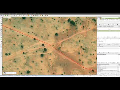
Mapping OSM landcover multipolygons with JOSM

Показать описание
This is a brief overview of how I edit Open Street Map (OSM) to add adjoining land-cover areas as multipolygons with shared boundary ways to reduce duplication and overlapping ways.
The tools used are:
Documentation on MultiPolygons in the OSM wiki:
The tools used are:
Documentation on MultiPolygons in the OSM wiki:
 0:08:36
Mapping OSM landcover multipolygons with JOSM
 0:06:22
OSM Multipolygons
 0:00:27
Open Street Map (OSM) - Multipolygon in Potlatch 2 - How to
 0:19:45
Mapping forest landcover in JOSM using FastDraw
 0:04:49
Multipolygon landuse
 0:09:29
Mapping roads in OSM: reclassification
 0:22:41
Potential and limitation of using OSM data for the creation/validation of Land Use/Cover maps
 0:00:58
Quick guide: Mapping settlements in OpenStreetMap
 0:16:04
Mapping a horse farm on OpenStreetMap
 0:00:11
OpenStreetMap Edits: Africa
 0:19:17
Using OpenStreetMap for Neighborhood Development and Feedback | Andrew Wiseman
 0:14:58
JOSM technique: mapping forests bounded by roads in OpenStreetMap
 0:08:31
Urban Land Cover Mapping: Urban Monitoring LST with MODIS Data
 0:00:44
JOSM editor - How to create a multipolygon in OpenStreetMap
 0:05:20
How To map apartment buildings in OpenStreetMap using ID and JOSM
 0:08:37
Mapping with JOSM: Draw mode
 0:32:42
OSM Relations Part1
 0:02:36
Simplifying ways in OSM
 0:28:15
Georeference, create polygons, download OSM data and different basemaps using QGIS
 0:05:15
Mapping cliffs in OSM using LIDAR hill-shade layers
 0:05:38
2022: Returning the favor - Leveraging quality insights of OpenStreetMap-based land-use/land-cover
 0:08:21
Mapping with JOSM: Select mode
 0:02:25
Debugging multipolygons in JOSM
 0:00:12
OSM map
Комментарии