filmov
tv
GEE Tutorial #27 - How to create an interactive Earth Engine App for creating Landsat timelapse?

Показать описание
This tutorial shows you how to create an interactive Earth Engine App for creating Landsat timelapse. You can also deploy the app to heroku so that anyone can open the app to create and download Landsat timelapse without coding.
 0:26:17
GEE Tutorial #27 - How to create an interactive Earth Engine App for creating Landsat timelapse?
 0:00:29
GEE Clip #27 - How to create an interactive Earth Engine App for creating Landsat timelapse?
 0:53:08
Day 27 - Introduction to Google Earth Engine ( GEE) - Part 1
 0:23:14
GEE Tutorial #28 - How to use your local computer as a web server for hosting Earth Engine Apps?
 0:00:31
GEE Tutorial #0 - New website for geemap user guide and API reference
 0:12:30
GEE Tutorial #47 - How to download image thumbnails from Earth Engine
 0:15:09
GEE Tutorial #55 - Visualizing Earth Engine raster data interactively with a GUI
 0:39:58
Learn Google Earth Engine (GEE); (in Nepali); Zoom Recorded | Part - 1 | Importing your Data in GEE
 0:07:19
GEE Tutorial #5 - Using drawing tools to interact with Earth Engine data
 0:14:19
GEE Tutorial #25 - How to load local raster datasets with geemap?
 0:15:27
GEE Tutorial #38 - How to use Cloud Optimized GeoTIFF with Earth Engine
 0:19:18
Google Earth Engine Tutorial: GEE Web application Apps || Widgets and Apps || Class:1
 0:04:59
Lesson 27: Tang Ma Biu Gee
 0:15:01
GEE Tutorial #19 - How to search and import datasets from Earth Engine Data Catalog
 0:27:05
How To Use Gee App - A Quick And Easy Tutorial
 0:09:22
GEE Tutorial: Global Tree Cover Mapping with Google Earth Engine
 0:13:51
GEE Tutorial #24 - How to publish interactive Earth Engine maps?
 0:11:42
GEE Tutorial #9 - Interactive plotting of Earth Engine data with minimal coding
 0:13:41
GEE Tutorial #21 - Exporting Earth Engine maps as HTML and PNG images
 0:23:04
Gee SNSD Dance Tutorial Step by Step
 0:04:44
Mk.gee - I Want (guitar tutorial)
 0:11:30
GEE Tutorial #49 - How to add a colorbar to the map
 0:00:35
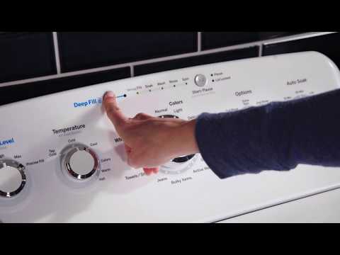
GE Appliances Top Load Washer - Deep Fill
 0:07:28
GEE Tutorial 98 - How to add fading effects to satellite timelapse or any GIF
Комментарии