filmov
tv
QGIS - Surficial geology Tutorial 4

Показать описание
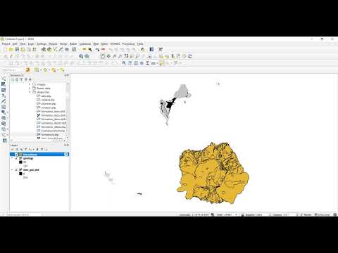
This one explains how to extract elevation data from a raster grid (elevation model) for a single geological map unit of interest, i.e. a set of polygons, and then get some summary statistics about the elevation of that unit.
Chapters:
0:00 Introduction
00:47 Quick recap and new questions/tasks
2:00 Load the elevation model
2:59 Explore the DEM data
3:22 Create a new layer of one specific geological unit
6:48 How to re-project a raster layer
8:47 Raster analysis and zonal statistics
12:15 Export and process the elevation data
14:15 Conclusion
#gis #geology #geoscience
 0:07:41
 0:15:24
 0:20:02
 0:09:42
 0:18:01
 2:27:01
 0:35:13
 0:00:38
 0:28:20
 1:17:09
 0:03:00
 0:13:57
 0:20:27
 0:12:09
 0:02:32
 0:02:58
 0:06:17
 0:07:00
 0:02:25
 0:06:40
 0:12:53
 0:06:59
 0:00:55
 0:13:54