filmov
tv
Intro to open webinar: How to make a geological map with QGIS - Apr 27-29 2021

Показать описание
This webinar covers the representation of geological information at regional scale from the Central Beaverhead Mountains, Idaho, US and creates a geological map through a series of processing and representation steps as:
Applying styles to geological units
Representation of contacts and normal / thrust faults
Representation of inclined beddings
Representation of anticlines / synclines
Map composition with legend, scale bar, grid and external graphs
More info:
Applying styles to geological units
Representation of contacts and normal / thrust faults
Representation of inclined beddings
Representation of anticlines / synclines
Map composition with legend, scale bar, grid and external graphs
More info:
 0:13:12
How To Create Your First WEBINAR: The Fast and Easy Way
 0:01:31
What is a Webinar? The Simplest Explanation You Will Get
 0:02:08
Learn How to Use Zoom Webinars
 0:04:18
How to Start your Presentation: 4 Step Formula for a Killer Intro
 0:13:31
How To Create A Webinar Presentation
 0:07:56
How to Introduce Yourself to a Virtual Team [CONFIDENTLY AND EFFECTIVELY]
 0:03:28
How to start a presentation
 0:08:40
Zoom Webinar Tutorial: How To Host A Webinar With Zoom
 1:55:51
Unlock Global Pharmacy Opportunities: Join Elite Expertise Webinar with IPGA!
 0:57:40
cBioPortal Webinar 1: Introduction
 0:14:35
The 3 Magic Ingredients of Amazing Presentations | Phil WAKNELL | TEDxSaclay
 0:02:32
HOW TO START A PITCH OR PRESENTATION
 0:44:47
Webinar: An introduction to Open Access Publishing for Academic Librarians
 1:01:08
Wordvice Webinar: How to Write a Strong Introduction
 0:32:32
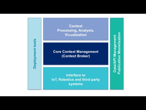
Wednesday Webinar: Introduction to FIWARE
 1:24:49
Webinar: Detailed Introduction to openLCA & Case Study - by ERG
 0:03:40
How to Start your Zoom Webinar or Meeting with Music
 0:15:15
How to Host Your First Webinar (Step by Step)
 0:06:47
Open Dental Webinar - Appointment Search
 0:13:26
How To Structure An Effective Webinar - 5 Critical Segments
 0:47:30
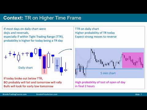
Al Brooks Webinar - TradersEXPO Las Vegas Trading the Open
 0:15:23
Open Dental Webinar- Treatment Plan Basics
 0:10:02
5 tips for impressive Public Speaking – Speak with confidence | Personality Development
 0:32:51
Intro to Grounded Theory Analysis with Delve [Webinar Recording]
Комментарии