filmov
tv
World Building- The Skyrim Map's 𝓪𝓮𝓼𝓽𝓱𝓮𝓽𝓲𝓬𝓬𝓬 & 𝓯𝓸𝓻𝓶

Показать описание
Throwing crap at the wall and seeing what sticks! Some of it. Not all of it. Comments are for discussion and criticism.
TIMESTAMPS:
00:00- Lmao Wayne Gretsky didn't say that
00:10- Howdy, Builder Boys and Gamer Girls
1:05- Skyrim's Shape
2:10- Rivers & Visual tricks
5:20 - Regions with Rivers & Mountains
11:39- Lore things that bug me!
Today we're looking at the Skyrim map and why it looks really good!
Skyrim's map is really cool 1. Because it's Skyrim, and 2. Because all the reasons I mention in this video. The Elder Scrolls is one of my favorite fantasy franchises and its world building is pretty good. I think this video will be helpful for any mapmakers, DMs, or writers who dabble in this kind of thing.
This is definitely not a normal kind of video I've made. A lot of this is speculative, so whatever sticks does and whatever doesn't doesn't. This is also more of a lecture style with little itty bitty bits of cringe humor sprinkled in. Making something that's less edited and less humorous allowed me to go in depth on a weird weird topic, and I expect to suffer in the watch-time of this one. The hardcore world builders won't mind, though.
I felt bad about not posting for 3 months when my next (normal) video isn't nearly done yet, so here you go. Just some straight factz and nollidge.
---
Dark Music - Awakening by Adrian Von Ziegler
Nordic/Viking Music - Einherjer by Adrian Von Ziegler
Nordic/Viking Music -Till Vaholl by Adrian Von Ziegler
Jdrcomposer’s tracks-
 0:15:33
World Building- The Skyrim Map's 𝓪𝓮𝓼𝓽𝓱𝓮𝓽𝓲𝓬𝓬𝓬 & 𝓯𝓸𝓻𝓶...
 0:12:12
World Building- Glaciers, Northern Lands, and Skyrim
 0:05:42
Why most World Building Place Names Suck
 0:23:55
The Geopolitics of Tamriel: Geography & the Elder Scrolls
 0:16:26
On Worldbuilding: Mountains in Fantasy Maps! [ ASOIAF | Dune | Stormlight ]
 0:15:00
The Politics of Fantasy Maps
 0:01:00
One EASY Trick to Make Fantasy Maps More Realistic & Artistic
 0:20:56
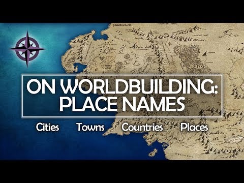
On Worldbuilding: Place Names — countries, cities, places
 0:13:51
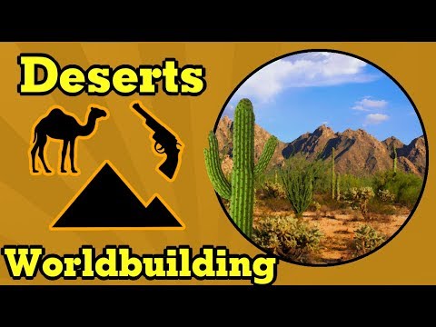
World Building: Everything about Deserts
 0:07:50
D&D World Building: Lessons Learned From Skyrim
 0:01:30
The Real Scale of Markarth: Skyrim in UNREAL ENGINE 5! [4K]
 0:00:07
Lotr middle earth transformed into Skyrim map AI
 0:03:25
Walk Across The Map Timelapse | Skyrim
 0:04:08
how are massive game environments made?
 0:11:52
... I Think I Found a Minecraft Project Bigger Than Building The Earth
 0:01:00
When you start your 10th Skyrim playthrough
 0:02:16
Skyrim Creation Kit Tutorial - Create an Exterior World
 0:14:31
Skyrim Creation Kit Tutorial - How to Make a New World.
 0:16:03
The Skyrim x Minecraft Crossover was Weird and Awesome?
 0:01:15
Daedra in Morrowind VS in Skyrim VS in Oblivion
 0:00:39
Playing Skyrim at 3am
 0:01:14
Quests in Morrowind vs Quests in Skyrim
 0:20:17
I AM THE GOD OF THIS WORLD
 0:01:02
Playing as a vampire in Morrowind vs Oblivion vs Skyrim vs Daggerfall
Комментарии