filmov
tv
QGIS 3D Map using 3D View (Version 3.x)

Показать описание
Create a 3D map in QGIS using a DEM, hillshade, and Google imagery. In this QGIS tutorial you will learn how to create a 3D map from a DEM an overlay other vector and raster layers to create realistic-looking terrain.
 0:08:08
Creating 3D Maps and Animations using QGIS
 0:08:57
Creating 3D maps in QGIS
 0:08:05
QGIS 3D Map using 3D View (Version 3.x)
 0:13:19
Developing a 3D Model using QGIS
 0:00:36
3D view in QGIS
 0:06:41
QGIS 3D Buildings Extrusion
 0:09:56
PART 1 - How to create 3D BUILDING MAP VIEW in QGIS using Qgis2threejs PLUGIN
 0:12:15
Create True Height 3D Buildings in QGIS
 0:06:20
QGIS Tutorial: Create Impressive 3D City Buildings #qgis #3d
 0:19:13
How to create 3D Model of DEM image using QGIS
 0:07:27
View your GIS project in 3D (QGIS 3D map tutorial)
 0:12:42
QGIS 3D - Make a Video in 3D View
 0:10:33
3D Tiles and Cesium Ion Plugin in QGIS
 0:02:55
QGIS Quick Tip - 3D Visualization
 0:21:30
How to Create 3D Terrain with QGIS and GIMP
 0:09:11
Create 3d context maps with QGIS and Speckle
 0:45:01
How to work with QGIS and Blender to make amazing 3D maps
 0:19:58
3D Model Creation using QGIS
 0:03:34
#1 QGIS Plugin Dem To 3D
 0:34:07
QGIS User 0036 - QGIS and Blender
 0:02:17
3D view in QGIS 3.4 – Mapping in GIS
 0:27:32
QGIS User 0045 - Creating 3D models for QGIS
 0:08:47
How to create 3D topographic map in Qgis
 0:00:31
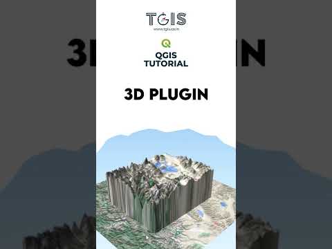
QGIS tutorial | 1 | 3D Plugins | Contact for Mapping Services |TGIS, Ahmedabad
Комментарии