filmov
tv
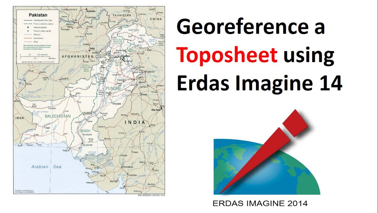
How to Georeferencing a topographic sheet using erdas imagine 14
Показать описание
Georeferencing is the name given to the process of transforming a scanned map or aerial photograph so it appears “in place” in GIS. By associating features on the scanned image with real world x and y coordinates, the software can progressively warp the image so it fits to other spatial datasets.
Georeferencing is to establish a relationship between images and object coordinate systems. It is crucial to make satellite and aerial as well as terrestrial imagery useful for mapping.
#Georeferencing
#Toposheet
#Topographic_map
#Pakistan_map
#Erdas_Imagine_14
Georeferencing is to establish a relationship between images and object coordinate systems. It is crucial to make satellite and aerial as well as terrestrial imagery useful for mapping.
#Georeferencing
#Toposheet
#Topographic_map
#Pakistan_map
#Erdas_Imagine_14
 0:17:32
 0:06:45
 0:06:24
 0:05:41
 0:08:03
 0:18:12
 0:04:21
 0:23:21
 0:00:07
 0:04:26
 0:12:17
 0:06:38
 0:05:01
 0:07:44
 0:06:29
 0:07:02
 0:09:56
 0:04:16
 0:10:18
 0:14:52
 0:07:05
 0:15:47
 0:19:28
 0:10:15