filmov
tv
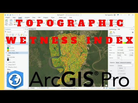
Calculating Topographic Wetness Index in ArcGIS | 2023

Показать описание
Welcome to our comprehensive tutorial on calculating the Topographic Wetness Index (TWI) using ArcGIS! 🌊
In this video, we'll walk you through the step-by-step process of deriving TWI, a crucial parameter in hydrology and environmental studies. Whether you're a GIS professional, a student, or someone interested in understanding the science behind terrain wetness, this tutorial has got you covered.
----------------------------------------------------------------
Don't forget to like, share, and subscribe for more GIS tutorials and geospatial insights! If you have any questions or suggestions for future videos, please leave them in the comments section below. Happy mapping! 🗺️📚
----------------------------------------------------------------
💰🤝🏻Join Membership to get access to perks & Support us🤝🏻💰
----------------------------------------------------------------
🌐 Stay connected:
----------------------------------------------------------------
What is Topographic Wetness Index (TWI)?
Topographic Wetness Index (TWI) quantifies terrain driven variation in soil moisture.
----------------------------------------------------------------
The Topographic Wetness Index (TWI) was developed by Beven and Kirkby (1979) within the runoff model TOPMOD.
It is defined as ln(a/tanβ) where a is the local upslope area draining through a certain point per unit contour length and tanβ is the local slope.
----------------------------------------------------------------
----------------------------------------------------------------
Link for Downloading Word Document on TWI:
How to Download SRTM DEM - Video Guide:
----------------------------------------------------------------
Steps in Calculating Topographic Wetness Index:
00:00 Introduction
00:30 Adding DEM Data
00:46 Project Raster GCS to PCS
02:11 Fill DEM
03:13 Flow Direction
04:03 Flow Accumulation
04:47 Slope in Degree
05:37 Radians of Slope
07:30 Tan Slope
09:14 Flow Accumulation Scaled
10:43 Topographic Wetness Index (TWI)
11:38 Changing Color / Symbology
12:58 Clipping Raster
----------------------------------------------------------------
Other Important Links:
To know more about Degrees to Radians Conversion visit:
Topographic Wetness Index:
----------------------------------------------------------------
#topographicwetnessindex #TWI #arcgis #hydrology #geospatial #DEM
 0:09:11
Topographic Wetness Index (TWI) in ArcGIS
 0:06:32
Calculate the Topographic Wetness Index in QGIS
 0:14:33
Calculating Topographic Wetness Index in ArcGIS | 2023
 0:08:29
How to calculate Topographic wetness index using ArcGIS
 0:14:41
How to calculate Topographic wetness index using ArcGIS
 0:10:48
Topographic Wetness Index (TWI) From DEM in ArcGIS
 0:03:03
GIS: Calculate Topographic wetness index in SAGA
 0:12:30
Topographic wetness Index (TWI) mapping
 0:06:28
Calculate TWI in QGIS
 0:12:43
Calculate Topographic Wetness Index (TWI) using ArcGIS
 0:05:57
Topographic wetness index calculations in Arcgis
 0:15:42
QGIS Tutorial : Method 2 & 3 || Calculating Topographic Wetness Index TWI
 0:10:48
How to calculate Topographic wetness index(TWI)/ compound topographic index (CTI) using ArcGIS
 0:05:27
QGIS Tutorial: Method 1 for Calculating Topographic Wetness Index (TWI)
 0:03:22
GIS: Calculating Topographic Wetness Index (choosing from different algorithms)
 0:17:18
Calculate Topographic Wetness Index and Create a Processing Tool in QGIS
 0:08:45
Topographical Indies: SPI, TWI or CTI and STI
 0:06:37
Generate Topographic Wetness Index (TWI) from Digital Elevation Model (DEM) in ArcGIS
 0:22:25
Calculating Topographic Wetness Index in ArcGIS | SRTM DEM | 2023
 0:10:25
How to Calculate Topographic Wetness Index using ArcGIS | Flood Mapping
 0:14:23
Topographic Wetness Index (TWI) or Compound Topographic Index (CTI) in ArGIS
 0:17:41
Estimate Topographic Wetness Index (TWI) using Model Builder | ArcGIS
 0:09:49
How to Calculate Topographic Wetness Index using ArcGIS Pro | Flood Mapping
 0:14:02
Hydrology in ArcGIS Pro, Lab Exercise 10: The Topographic Wetness Index (TWI)
Комментарии