filmov
tv
Calculate Topographic Wetness Index and Create a Processing Tool in QGIS

Показать описание
In this video you'll derive the Topographic Wetness Index (TWI) from a DTM using the PCRaster Tools plugin in QGIS. Next, you'll see how we can write a Python script that does the same. Finally you'll see how to develop a Processing Tool and share it with others through the QGIS Resource Sharing plugin.
0:00 Introduction and theory
1:06 Calculate slope fraction
1:52 Calculate flow direction (LDD)
2:07 Calculate flow accumulation
3:16 Calculate cell area
3:48 Calculate TWI with Raster Calculator
5:20 Calculate TWI with Python script
9:50 Install Resource Sharing plugin
11:08 Create QGIS Processing Script
#QGIS #PCRaster #PyQGIS
 0:09:11
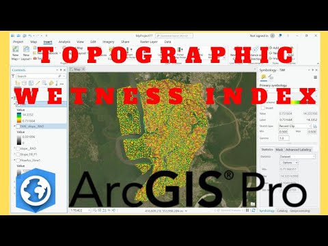
Topographic Wetness Index (TWI) in ArcGIS
 0:06:32
Calculate the Topographic Wetness Index in QGIS
 0:17:18
Calculate Topographic Wetness Index and Create a Processing Tool in QGIS
 0:08:29
How to calculate Topographic wetness index using ArcGIS
 0:14:33
Calculating Topographic Wetness Index in ArcGIS | 2023
 0:14:41
How to calculate Topographic wetness index using ArcGIS
 0:16:00
Calculate Topographic Wetness Index (TWI) Using ArcGIS Pro
 0:03:03
GIS: Calculate Topographic wetness index in SAGA
 0:12:30
Topographic wetness Index (TWI) mapping
 0:10:48
Topographic Wetness Index (TWI) From DEM in ArcGIS
 0:12:43
Calculate Topographic Wetness Index (TWI) using ArcGIS
 0:09:49
How to Calculate Topographic Wetness Index using ArcGIS Pro | Flood Mapping
 0:05:57
Topographic wetness index calculations in Arcgis
 0:10:48
How to calculate Topographic wetness index(TWI)/ compound topographic index (CTI) using ArcGIS
 0:06:28
Calculate TWI in QGIS
 0:14:02
Hydrology in ArcGIS Pro, Lab Exercise 10: The Topographic Wetness Index (TWI)
 0:06:37
Generate Topographic Wetness Index (TWI) from Digital Elevation Model (DEM) in ArcGIS
 0:15:42
QGIS Tutorial : Method 2 & 3 || Calculating Topographic Wetness Index TWI
 0:22:39
Topographic Wetness Index (TWI) Using ArcGIS
 0:05:27
QGIS Tutorial: Method 1 for Calculating Topographic Wetness Index (TWI)
 0:14:23
Topographic Wetness Index (TWI) or Compound Topographic Index (CTI) in ArGIS
 0:14:31
Topographic Wetness Index | Compound Topographic Index | Arc GIS
 0:17:41
Estimate Topographic Wetness Index (TWI) using Model Builder | ArcGIS
 0:00:16
Sensitivity assessment of the TWI formula of TOPMODEL (hydrology)
Комментарии