filmov
tv
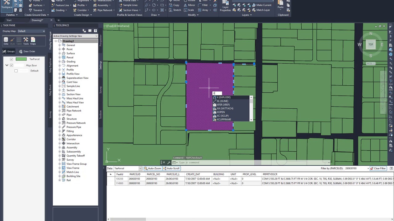
Tutorial: How to Import GIS Data (Shapefiles) | Civil 3D
Показать описание
Our Consulting and Services Manager, Shawn Herring, shows us how to import GIS Data (Shapefiles) in Civil 3D.
 0:05:32
Importing GIS shapefiles into Google Earth Engine
 0:03:42
Importing GIS Shape (SHP) Files with MAPIMPORT in Civil 3D 2023
 0:04:31
Tutorial: How to Import GIS Data (Shapefiles) | Civil 3D
 0:01:46
ArcGIS# How to export GIS map to AutoCAD
 0:08:50
How to download and import shapefile/vector GIS Data for any country – Free online sources
 0:09:52
BLENDER-GIS TUTORIAL IMPORT AND EXPORT CITIES
 0:03:06
Import Shapefiles to Feature Dataset | a GIS ArcMap 10.2.1 Video Tutorial by Gregory Lund
 0:09:39
A Complete Beginner's Guide to ArcGIS Pro: Part 1
 1:09:31
Google Earth Engine: training program for beginners to advance for GIS & Remote Sensing Analysis
 0:05:09
Importing AutoCAD Drawing to ArcGIS as a Shapefile (very Easy Method)
 0:03:37
Import GIS data into Google Earth
 0:04:56
Blender GIS
 0:05:58
Tutorial 7 Importing GIS or CAD Data
 0:04:30
Importing Excel Coordinates to ArcMap and Plotting
 0:05:48
Video Tutorial Part 6 - Import Shapefiles (GIS Daten)
 0:02:21
How To Import GIS Shapefiles in Google Earth Pro
 0:03:12
How To Import GIS Shapefiles in Google Earth Pro
 0:06:25
How to import GIS contour data into Civil3D
 0:26:09
How to use GeoDjango (import GIS shapefile with Python)
 0:06:01
Importing CSV (Excel) Coordinates into QGIS
 0:05:09
GIS data to Unreal Engine - 4 - Import Shapefiles as Weightmaps
 0:17:09
Importing Shapefile Data with Blender GIS
 0:11:17
GIS Tutorial: Creating a feature layer in Google Earth Pro and importing it into to ArcGIS Pro
 0:03:03
Easy Convert CAD DWG to GIS SHP in ArcGIS
Комментарии