filmov
tv
Satellite imagery captures key areas of Ukraine before and after Russian invasion

Показать описание
Satellite imagery shows the devastation Russian troops have created in Ukraine since they invaded the country in February 2022.
A monastery in Mykilske, which once featured extravagant religious buildings and surrounding housing, lays in ruins after intense fighting.
The salt-mining town of Soledar, captured by Putin’s forces in January 2023, has been transformed from a bustling town to rubble.
As the war enters its second year, there remains no end in sight, with a UN vote demanding Russia withdraws its soldiers.
Global leaders are calling for more aid to for Ukraine and further sanctions on Moscow.
About The Independent:
Making Change Happen. The Independent is the world’s most free-thinking newsbrand, providing global news, commentary and analysis for the independently-minded.
Connect with The Independent:
 0:01:12
Satellite imagery captures key areas of Ukraine before and after Russian invasion
 0:07:51
When deep learning meets satellite imagery
 0:02:29
Five open satellite imagery data sources
 0:15:37
What Satellites Can See From Space Is Troubling
 0:05:06
Spy Satellite Expert Explains How to Analyze Satellite Imagery | WIRED
 0:15:42
How High-Res Space Imagery Will Change Everything | 10CM Satellite Imagery Explained
 0:00:25
Capturing the black hole ton618 #astronomy #astrophoto #nebula #space #spacescience
 0:06:40
Updated Satellite Images Every 2-3 days.
 0:00:40
Hubble Captures Dwarf Irregular Galaxy NGC 5238 #shorts #space #explore #nasa #hubble
 0:08:05
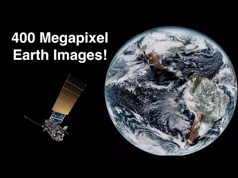
How Satellites Capture 400 Megapixel Images Of Earth's Globe - Himawari 8 & GOES-16
 0:01:00
Deep Learning tools in Building Detection from Drone & Satellite imagery
 0:08:41
New Satellite Images Captured Something China Wanted Kept Secret
 0:00:16
Russian Capture of Key Locations in New York Agglomeration
 0:00:25
I Captured 3 AMAZING Objects! #shorts
 0:11:01
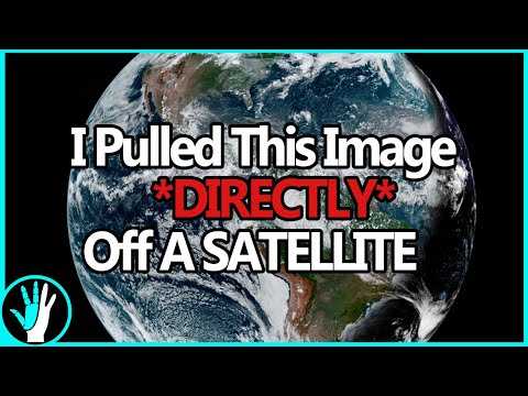
Pulling Clear Images Directly Off Satellites | GOES-15,16,17 and Himawari 8 HRIT
 0:24:13
How To Get Live Satellite Images Directly From Space
 0:00:43
UFO CRASH LANDS IN ANTARCTICA | The Proof Is Out There | #Shorts
 0:06:45
🛑How to download High-resolution (0.3m) MAXAR satellite image for free, From OpenAreialMap & use...
 0:17:47
Satellite Imagery Dataset preparation for Machine Learning | Create Mask Imagery | GeoDev
 0:00:57
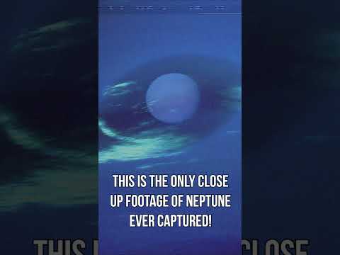
This Is the Only REAL Close-up Footage of Neptune Ever Captured
 0:00:11
Satellite images of the UK before and after the 40°C record breaking heatwave #Shorts
 0:05:52
HOW TO DOWNLOAD LANDSAT 8 IMAGE FROM USGS EARTH EXPLORER WEBSITE
 0:00:38
🐉A Water Dragon Caught On Google Earth & Maps
 0:00:55
Satellite images reveal severity of damage done to key Kherson bridge
Комментарии