filmov
tv
AutoCAD Tutorial; Insert, georeference google earth image
Показать описание
My Gear/Recommendations
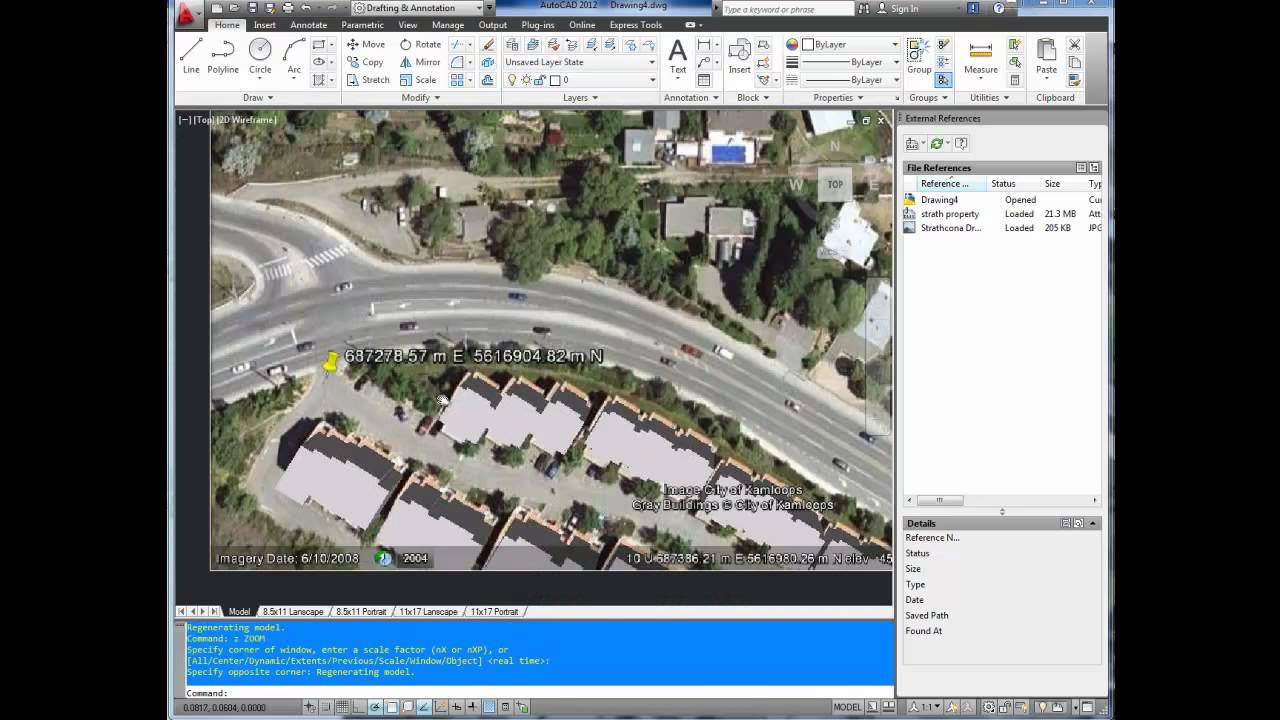
AutoCAD Tutorial: Insert, georeference google earth image
In this video I go over how to insert georeference a google earth image in autocad, I also insert property lines from a city website. I explain how to do this using the align command in CAD
As always don't forget to subscribe, and if you have any questions don't hesitate to ask!
Cheers and thanks for watching
 0:07:23
AutoCAD Tutorial; Insert, georeference google earth image
 0:10:39
Adding a Google Earth Image to AutoCAD (and Georeferencing)
 0:04:12
How to Set Geo Location in AutoCad?
 0:07:15
AutoCAD Tutorial: Insert, georeference a Google Earth Image - Plex.Earth Update
 0:06:49
How to georeference google imagery in AutoCAD
 0:01:51
How to Make #Georeferenced Image in #AutoCAD - #Tutorial for #Beginners
 0:05:46
Google map to AutoCAD | AutoCAD LT software (2020)
 0:23:34
How to georeference in AutoCAD
 0:05:40
How to import a TIF orthophoto in AutoCAD
 0:19:58
How to Georeference a Scanned Raster Image in AutoCAD Civil 3D by Coordinates
 0:06:57
AutoCAD Geolocation - How to create quickly your site location plan
 0:08:11
High Resolution Google Earth Image to AutoCAD & Georeferencing!!
 0:06:50
Inserting Google Earth Image to AutoCAD|| Geo-referencing in AutoCAD
 0:06:03
Insert Google Maps To Autocad
 0:08:07
how to open google earth in autocad
 0:12:18
INSERTING GOOGLE EARTH IMAGE TO AUTOCAD | MAKE SITE PLAN IN AUTOCAD USING GOOGLE EARTH
 0:01:55
How to add Google earth in Autocad Civil 3D 2020 || Hot! Hot!
 0:26:35
Georeferencing Maps in AutoCAD
 0:12:33
How to add Google earth Image to AutoCad and Georeference it | Import google earth image to autocad
 0:08:01
Adding a Google Earth Image to AutoCAD civil 3d (Geo referencing)
 0:21:59
Import Google Earth Image to AutoCAD and Georeferencing
 0:13:30
Insert Google Earth Image into AutoCAD | Align (Georeference) the Image on AutoCAD
 0:30:16
How to Add and Georeference Google Earth Image in AutoCAD Civil 3D
 0:07:07
How to Georeference Custom Google Imagery in AutoCAD or Civil 3D to Infraworks
Комментарии