filmov
tv
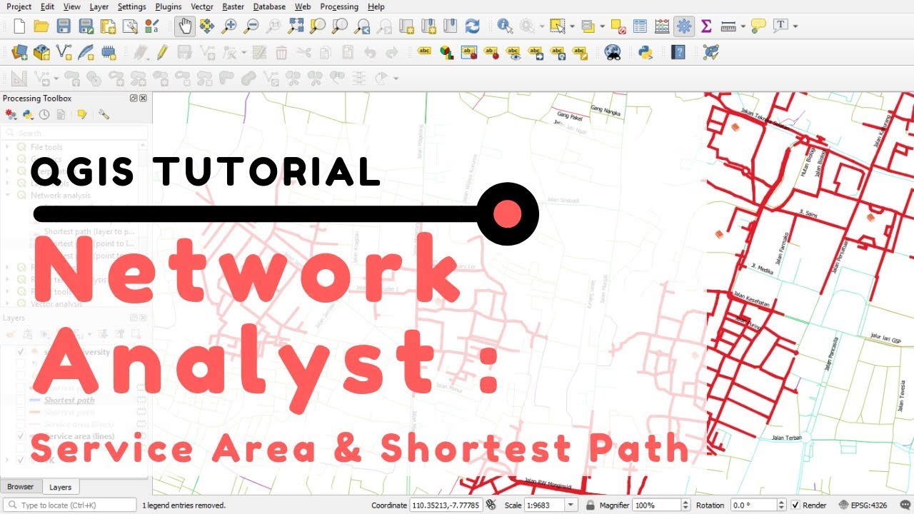
QGIS Tutorial: Network Analysis (Shortest Path/Route and Service Area)
Показать описание
### QGIS Tutorial: Network Analyst (Shortest Path/Route and Service Area) ###
One of the implementation of GIS (Geographic Information System) at the advanced level is for network analysis. This analysis is used to find solutions to vehicle route problems. There are several network analysis models, including determining the closest route, finding the closest object / facility, affordability analysis of several facilities (service area), and finding the most effective route (cost, distance, time) from and to several starting points and destinations.
_________________________________________________________________________________
Any questions or advise? Please submit it in the comments section below.
If you feel this video is useful please like, share, and subscribe.
Thanks.
 0:11:51
QGIS Tutorial: Network Analysis (Shortest Path/Route and Service Area)
 0:10:02
Calculating Shortest and Fastest Paths using QGIS (ORS Tools)
 0:01:10
QGIS TUTORIAL:Learn Shortest Route Network Analysis In 1 Minute| Zero To Hero
 0:20:03
QGIS Tutorials 026 Network Analysis Shortest path and Service area
 0:16:36
Shortest & Fastest Routes, Isochrone Maps, Time - Distance Matrix using QGIS
 0:09:04
How to Run a Quick Network Analysis in QGIS? #geospatial #qgis #esri #gis #data #datavisualization
 0:07:19
GIS EX.8 | SHORTEST PATH ANALYSIS IN QGIS
 0:05:33
QGIS Tutorial: Route Planning in QGIS with the TravelTime QGIS Plugin
 0:01:38
QGIS Network Routing Shortest Path
 0:01:22
GIS: QGIS Shortest Route Network Analysis using multiple features
 0:07:06
Channel Network analysis in QGIS
 0:18:53
QGIS Module 6.3 Network Analysis
 0:01:46
GIS: Keep line attributes in QGIS Network Analysis - Shortest Path
 0:04:29
QGIS Distance Matrix
 0:01:20
GIS: Computing Shortest Path Distance for multiple points in QGIS
 0:07:56
QGIS Basic : Shortest path between points
 0:21:34
How to Perform a Simple Spatial Data Analysis using QGIS
 0:46:15
Network Analysis Practice (with QGIS and python)
 0:02:14
Calculate the shortest distance and time between two points
 0:05:36
Network Analysis to find shortest distance
 0:02:46
Network Analysis in ArcGIS- Calculate the shortest route using Network Analyst. #gis #arcgis
 0:09:52
Using Network Analyst Tool on Arc GIS 10.3 Tutorial ~ Finding the shortest quickest root
 0:17:20
GIS Lesson 7 3: Network Analysis
 0:22:58
Urban Street Network Analysis in QGIS -Connectivity, Cyclomatric Number , Average distance
Комментарии