filmov
tv
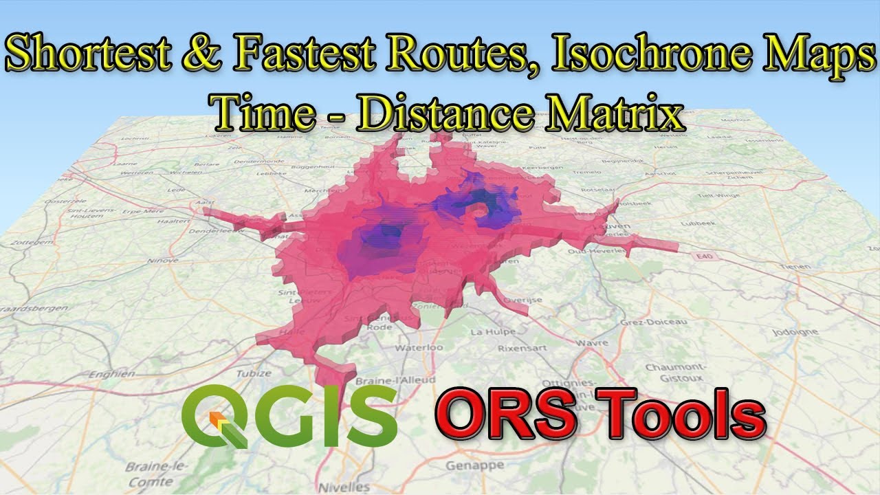
Shortest & Fastest Routes, Isochrone Maps, Time - Distance Matrix using QGIS
Показать описание
In this tutorial, you will learn how to use three functionalities of the ORS Tools of QGIS.
1. Calculating the shortest & fastest routes based on a given points layer
2. Creating Isochrone maps based on time and distance dimensions
3. Developing a distance/ time matrix for a given 2 sets of origin and destination point layers
1. Calculating the shortest & fastest routes based on a given points layer
2. Creating Isochrone maps based on time and distance dimensions
3. Developing a distance/ time matrix for a given 2 sets of origin and destination point layers
 0:16:36
Shortest & Fastest Routes, Isochrone Maps, Time - Distance Matrix using QGIS
 0:10:02
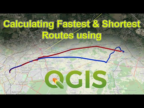
Calculating Shortest and Fastest Paths using QGIS (ORS Tools)
 0:01:41
Which is faster * Brachistochrone Curve ❤️ C4D4U
 0:43:53
Travel time (isochrone) maps with R
 0:11:51
QGIS Tutorial: Network Analysis (Shortest Path/Route and Service Area)
 0:02:46
Network Analysis in ArcGIS- Calculate the shortest route using Network Analyst. #gis #arcgis
 0:06:32
The Fastest Track—The Tautochrone Curve
 0:15:22
How to Calculate the Shortest and Fastest Routes in QGIS (Open Routing Services-ORS)
 0:01:34
#isochrone #qgis #geo #market t
 0:19:25
Network analysis & isochrones using ArcGIS & TravelTime
 0:02:43
Finding the Shortest and Quickest Path
 0:00:32
Valhalla routing and isochrone demo
 0:04:43
Using roads to create Isochrone maps
 0:00:26
Create Isochrone | Distance Time Analysis | Mapbox | Heligeo
 0:01:19
Route Inspection Problem - 1km Isochrone from Home
 0:07:56
QGIS Basic : Shortest path between points
 0:00:16
✨ The shortest path is not always the fastest ⚡ | Brachistocrone Curve 🪝 | @MathTonics | #shorts...
 0:00:31
Isochrone API from StraTopo
 0:06:42
Fastest Route - Algorithms on Graphs
![[draft] Realtime Interactive](https://i.ytimg.com/vi/S7pTF_mPVwc/hqdefault.jpg) 0:01:12
0:01:12
[draft] Realtime Interactive Isochrone Map
 0:01:38
QGIS Network Routing Shortest Path
 0:00:14
Sequential Source Points and the Isochrone Source Line #shorts
 0:10:50
OSM Tools for Routing, Isochrones and Travel Time in QGIS
 0:14:08
ORSTools for Routing, Isochrones and Travel Time in QGIS
Комментарии