filmov
tv
How to Automatically Digitiz Buildings l Roads l Forests using QGIS mapflow Plugins

Показать описание
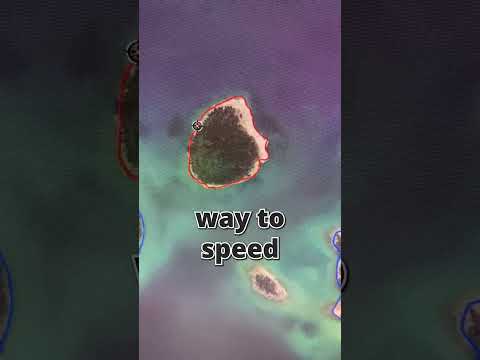
QGIS is far from any vendor’s interests but it has an open repository of useful plugins that developers can contribute to. So we decided to provide those who are used to working in QGIS with Mapflow AI-mapping capabilities. This is a big step for us towards openness and broader coverage of AI-mapping.
Tanks to #GIS Lounge
#Geoalert,
Tanks to #GIS Lounge
#Geoalert,
 0:06:49
How to Automatically Digitiz Buildings l Roads l Forests using QGIS mapflow Plugins
 0:11:26
automatically Building Footprint digitization in qgis|MapFlow| how to Auto digitize in qgis|gtt
 0:07:35
Extract your City data like Road, building and other features from Open Street Map in QGIS
 0:07:21
How to digitize a map in QGIS Software
 0:09:10
Digitize directly from Google Earth to Make Shapefile of Different Features Using QGIS
 0:07:36
QGIS Automatically Digitize Building using MapFlow plugin
 0:05:00
How-to: Extracting Building Footprints using Esri's Deep Learning Model
 0:13:08
Automatic Digitization of a map using ArcMAP.(ArcGIS)
 0:04:44
QGIS - How to use the automatic tracing when digitizing
 0:06:25
QGIS + Mapflow : Extract Building Footprints
 0:01:00
Deep Learning tools in Building Detection from Drone & Satellite imagery
 0:00:33
Automated Inventory Form in Google Sheets
 0:00:20
TUTORIAL: Automatic Building and Road Extraction from Large Scale Open Geospatial Datasets
 0:09:27
This Simple File Management System Changed My Life!
 0:00:10
Don’t put this under your iPad case! ⚠️
 0:08:07
3 FREE Digimap Alternatives for Site Analysis and Site Plans
 0:20:49
Creating Features by Digitizing in ArcGIS Pro
 0:03:45
Automatic Road Extraction From Aerial Photographs/Satellite Imagery Using ArcGIS Pro Part 1
 0:10:38
Digitization in QGIS || Digitization in point, line and Polygon in QGIS || IT GIS || QGIS
 0:00:30
QGIS stream digitizing with a Huion Pen/Tablet combo #shorts
 0:16:23
Master the Digitizing in 15 Minutes | ArcGIS In-Depth Tutorial
 0:00:38
Swap Faces in Photoshop in 30 SECONDS
 0:04:37
04 - Building footprint automatic extraction
 0:00:31
Spotlight Effect - Short Photoshop Tutorial
Комментарии