filmov
tv
NDVI calculation from Landsat8 images with Python 3 and Rasterio - Tutorial

Показать описание
Satellite images are georasters, these images are a regular array of columns and rows (a matrix per band) with a georeferenciation. Python is a programming and data analysis language very versatile for the matrix algebra with the Numpy library, however there was no efective and simple way to process a georaster until the development of the Rasterio package.
Rasterio is a library to open, write, explore and analyze georasters in Python. The library uses GeoTIFF images along with other formats and is capable to work with satellite images, digital elevation models, and drone generated imagery.
This tutorial show the complete procedure to analyse the NDVI from a Landsat 8 image with Python 3 and Rasterio. The scripting and representation was performed on a interactive enviroment called Jupyter Notebook, finally the result georaster was opened in QGIS and compared with some background images.
Input data
You can download the input data and scripts used for the tutorial on this link:
 0:06:31
NDVI calculation from Landsat 8 images with R and Terra package - Tutorial
 0:09:42
NDVI calculation from Landsat 8 images with Julia and ArchGDAL package - Tutorial
 0:04:21
NDVI, SAVI, TVI calculation from LandSAT 8 Image
 0:14:24
Calculating NDVI using QGIS and Landsat 8 Images
 0:15:58
Calculate NDVI from Landsat 8 Image I Classify NDVI Range in ArcGIS
 0:04:05
How to Calculate NDVI Using Landsat 8 Images in QGIS#15
 0:22:34
NDVI calculation from Landsat8 images with Python 3 and Rasterio - Tutorial
 0:10:33
How calculate NDVI on Google Earth Engien GEE using Landsat 8 image.
 0:05:09
NDVI | Vegetation/Forest Cover Map in ArcGIS
 0:10:14
Calculating Vegetation Indices using ENVI and Landsat 8 Images (NDVI, RVI, EVI, SAVI)
 0:11:41
Calculating Water indices using ENVI and Landsat 8 Images (NDVI, NDWI, WRI, AWEI)
 0:07:53
How to Calculate NDVI Using Landsat 8 Images in ArcGIS Pro
 0:13:01
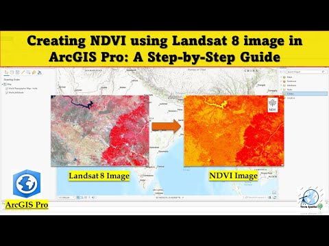
Creating NDVI Using Landsat 8 Image in ArcGIS Pro: A Step-by-Step Guide
 0:33:19
Image differencing in ArcMap l NDVI l NDWI and NDBI using LandSat8 image
 0:11:07
how to calculate NDVI using LANDSAT 8 in google earth engine
 0:08:00
Tutorial N° 27 : How to calculate NDVI using Landsat 8 image in Qgis
 0:08:59
Calculate NDVI using QGIS and Landsat 8 Images
 0:32:04
How to extract NDVI from Landsat 8 Satellite Imagery Data in ArcGIS?
 0:05:14
How to Calculate NDVI Using Landsat 8 Images and QGIS
 0:23:35
How To Calculate NDVI from Landsat 8 image and Export to Drive using GEE
 0:11:25
NDVI from Landsat 8 in SNAP
 0:08:21
Calculating NDVI (Normalized vegetation Index) using Landsat8 images in ENVI 5.3
 0:04:43
How to Calculate NDVI From Landsat 9 Satellite Image in ArcGIS
 0:09:58
NDVI using LandSat 8 satellite image
Комментарии