filmov
tv
Flying VOR Airways | IFR Navigation

Показать описание
Flying the old school way with VORs along victor airways is fun...no really, it is!
 0:08:02
Flying VOR Airways | IFR Navigation
 0:10:07
How to Fly VOR to VOR on Airways | No GPS | Cross Radials
 0:04:27
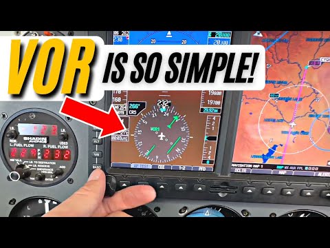
Master VOR Navigation in Minutes! In-Flight Tutorial | IFR Pilot & Aviation Training #flighttrai...
 0:06:24
IFR Enroute Charts Explained | Airways on IFR Charts | IFR Training
 0:05:46
How to Fly VORs on the IFR Checkride | VOR Tutorial
 0:05:58
An Overview of Low Altitude Airways
 0:10:14
VOR Explained Simply | How VOR Works | IFR Training
 0:13:19
How to Make VORs Easy to Use | VORs Tips | IFR Training
 0:14:54
Ep. 201: IFR Low Enroute Charts Explained | Basics Part 1
 0:15:09
How to Fly a VOR Hold Procedure | FlightInsight | IFR
 0:04:34
Garmin 430 loading IFR plan (step by step)
 0:00:46
VOR Navigation Explained in 45 Seconds! | Pilot Training & Aviation Knowledge
 0:09:31
Get Holding Entries Right Every Time | How a CFI Visualizes Holding Entries | Holding Pattern Entry
 0:07:51
Enroute Chart Airspace Explained | Compulsory Reporting Points
 0:23:59
Michael teaches Karin IFR Lesson #3 (Intercepting Airways & VOR Radials)
 0:19:18
You WILL Understand VORs after Watching This! (PPL Lesson 37)
 0:10:08
Intercepting and Tracking (IFR)
 0:08:43
IFR Approaches with Garmin 430 or 530 | GPS Buttonology
 0:13:34
IFR Altitudes Explained | MEA MOCA & OROCA on Low Enroute Chart | Minimum Altitudes for Enroute ...
 0:36:40
How to Use VOR Navigation | Tracking and Intercepting Radials | Instrument Navigation
 0:00:34
G1000 VOR DME Arc Turn 10 Twist 10 Instrument IFR Pilot Flight Checkride Prep #shorts #aviation #IFR
 0:06:34
How to Fly a VOR Approach & VOR Hold | Hold in Lieu of Procedure Turn
 0:16:56
Cessna 172 | IFR Flight to Longview | Victor Airways
 0:11:33
How to Plan an IFR Flight | ForeFlight Planning | IFR Preflight
Комментарии