filmov
tv
How to create Level-I, Level-II, and Level-III Land Use Land Cover(LULC) map using ArcGis.

Показать описание
#LULC#Level_I#Level_II#Level_III#SatelliteImage#ArcGis
Welcome to Remote Sensing GIS Home. One-stop platform for Remote Sensing and GIS Videos and Lectures on Remote Sensing and GIS Techniques and their applications. We want to provide a brief explanation of the Practical Portion of GIS & Remote Sensing.
RS GIS HOME Facebook Page:
RS GIS HOME Facebook Groups:
Join our Free Telegram Channel
Playlists:
==========================================================================================
_______________________________________________________________________________
Welcome to Remote Sensing GIS Home YouTube channel, we hope you like our videos.
Subscribe to our channel for the latest Videos and Lectures on Remote Sensing and GIS Techniques and their applications.
___________________________________________________________________________________
About the Video:-
This video shows how to create a land use and land cover (LULC) map from a satellite image. Land use and land cover (LULC)map is an important research area and studied exclusively in remote sensing. However, accurate and appropriate land use/cover detection is still a challenge. This video shows that how to create different types of land use and land cover (LULC) based arc gis Digitatization using Sentinel 2 data.
If you like the information given in this video, first hit the like button and share the video with your friends.
Subscribe to the channel if you are new here and press the bell icon to get regular updates.
___________________________________________________________________________________
About the Channel:-
On this YouTube Channel:
Knowledge of Remote Sensing and GIS and how it works in the world
Videos and Lectures on Remote Sensing and GIS Techniques and their applications
A brief explanation of Practical Portion of GIS & Remote Sensing
Boost your concept with Remote Sensing and GIS
Keep yourself updated with the new techniques of Remote Sensing and GIS field
One-stop platform for Remote Sensing and GIS
So stay connected with us by just clicking on the Red Subscribe button and press the bell icon.
___________________________________________________________________________________
Follow us on:
Thank You.
 0:27:44
How to create Level-I, Level-II, and Level-III Land Use Land Cover(LULC) map using ArcGis.
 0:00:17
how to build a 2 story house without the gamepass in bloxburg
 0:00:25
One Simple Step to Make Your Levels 100% Better
 0:00:42
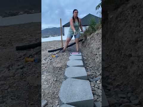
Super Easy String Line Trick | #hardscaping #pavers #concrete
 0:00:58
Make a Level BUILD ITSELF in Mario Maker 2 - Quick Tip
 0:01:24
Pattern Camp – Level II Create Complex Repeating Patterns in Illustrator Jessica Swift Skillsha...
 0:00:40
🫁DIY Respiratory System!🫁 #lungs #respiratorysystem #scienceteacher #humanbody
 0:00:30
IKEA PAX DIY Closet Q&A
 0:00:34
how to make a cherry 🍒#hipaint #fruit #art #digitalart #shortts
 0:00:13
Hidden Cheat Code in Super Mario Bros! 😮
 0:00:19
Infinite cube glitch? 🤔
 0:00:31
how to create a level in revit 2021
 0:00:43
Noob vs. pro in Minecraft (part 2)
 0:00:47
the circle dot trick
 0:00:35
How fast is your brain?
 0:00:18
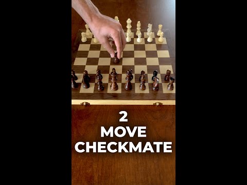
Win Chess in just 2 Moves Only! #Shorts
 0:00:14
My art in Class vs At home | Artcoaster #shorts
 0:00:18
How To Fix The Fortnite Item Shop! #shorts
 0:00:15
The Best Workout Split for Intermediate Lifters
 0:00:19
ARK Beginner Tips Part 2
 0:01:01
DIY Retaining Wall #diyprojects #retainingwall #diy
 0:00:22
Chilly Pepper in PvZ2!
 0:00:15
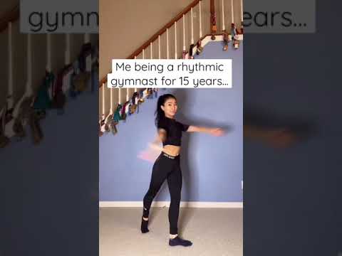
A gymnast who can’t do that? #shorts
 0:00:31
How To Win Chess in 2 Moves #Shorts
Комментарии