filmov
tv
A New Geologic Map Information Service from the Kentucky Geological Survey - Doug Curl

Показать описание
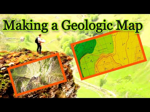
The Kentucky Geological Survey has released a new version of the Kentucky Geologic Map Information Service. The primary features available on the application are geologic map layers which include features that were mapped at 1:24,000-scale across the entire state, along with a number of other geologically related layers. This is a complete redesign of this customized map application using the newest version of the ESRI ArcGIS API for Javascript (v. 4.15),and is now responsive to mobile devices. The service also utilizes cached layers for a faster, more reliable user experience. There is now a custom bookmark tool which can be used to save a custom layout. This presentation will provide an overview of the new design along with insight about technology used to develop the service.
About the Presenter:
Douglas C. Curl – Kentucky Geological Survey
Doug Curl has worked at the Kentucky Geological Survey for 22 years, and is currently Head of the KGS Geoscience Information Management Section. While at KGS he has acquired a range of experience working with geoscience GIS-related data including developing web mapping services, digitizing, data management, GIS analysis, and GIS-based field data collection. Doug has an MS degree in Geology from the University of Tennessee (1998), and a BS in Geology from Guilford College in Greensboro, NC (1994).
 0:32:50
 0:09:00
 0:14:45
 0:01:11
 0:07:12
 0:07:45
 0:07:00
 0:05:22
 1:29:47
 1:16:15
 0:06:38
 0:01:13
 0:05:04
 0:01:02
 0:53:31
 0:04:27
 0:37:26
 0:04:34
 0:02:58
 0:00:51
 0:14:19
 0:05:26
 0:03:45
 0:02:44