filmov
tv
How to Make a Map in ArcGIS
Показать описание
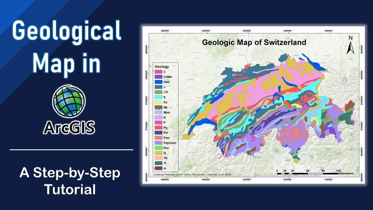
In this tutorial, you will learn how to create your own geological map using geologic data downloaded from USGS (for free), by utilizing ArcGIS ArcMap software.
You will guided you through the entire process, from importing data to final map production. Whether you're a geologist, geoscientist, or a GIS professional, this video is perfect for anyone looking to improve their mapping skills using ArcMap. Watch as we show you how to work with multiple data layers, utilize advanced tools, and customize your map to meet your specific needs. By the end of this tutorial, you'll have a comprehensive understanding of how to create a detailed and accurate geological map in ArcMap.
Geological mapping in ArcMap can be quite important for several reasons:
1. Resource Exploration: Geological maps are used to explore and identify potential locations for natural resources such as minerals, oil, and gas.
2. Natural hazard assessment: Maps can be used to identify and assess potential hazards such as earthquakes, landslides, and volcanic eruptions.
3. Environmental Management: Geological maps can be used to manage and protect natural resources and the environment, such as identifying and mapping wetlands, or assessing the potential impact of development on the surrounding ecosystem.
4. Urban Planning: Geological maps can be used in urban planning to identify potential soil stability issues, determine suitability of land for construction and avoid potential hazards, such as flooding or landslides.
5. Education and Research: Geological maps are also used in education and research to teach students about geology and support ongoing geological research
#arcgis #geology #tutorial

Create a Map on Google Maps 2024 [New Method] Google Maps Secrets (New Update)

How to Make Maps

How I make Maps out of Marble — OSP Behind The Scenes

How I Make My Maps

How to Make a Map | Geography for Kids | Made by Red Cat Reading
Creating a Realistic Fantasy Map | Fantasy World-Building

make a fantasy map with me!!!

Making a fantasy map out of rice!✨ #art #shorts

make your own road map | way to success । need for success
How to Draw Mountains, Forests, Swamps and Cities for a Fantasy World Map!

Custom Google Maps Tutorial – How to Create Custom Vector Map in 5 Minutes

Make Your Maps Look AMAZING [Inkarnate Tutorial]

How to Become Good Mapper?

Rice map part 2! 🗺️

Minecraft 1.20 Map & Cartography Table Guide | Mega Map, Scaling, Copying Locking & More!
Thought I’d jump on this trend 🏰🧜♀️🧚♀️ #fantasymap #fantasymapmaking #mapmaking...

Beginner D&D Map Making | Step-by-Step Fantasy Maps

How I Make My Map Videos

Flag Map Tutorial with Paint.net

Making my Fantasy Map…😁🐙🐊🦍
How To Create Fantasy Maps That ANYONE Can Draw!!!

How to make good Maps!

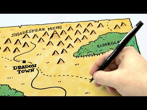
How to Make a Treasure Map
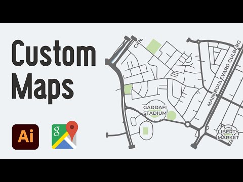
Create Custom Google Maps (Complete) in Adobe Illustrator & Snazzy Maps (2021)
Комментарии