filmov
tv
How to Draw Contour in QGIS without visiting site | (English)

Показать описание
How to draw contour in QGIS in very easy method without visiting the site.
First I have chosen an unknown location for drawing contour.
Then I have created some regular points over there.
Thereafter I have converted the points to KML format
Then with the help of GPS Visualizer elevation website I obtained elevation data free of cost and converted it to GPX layer.
Then imported the GPX layer in QGIS
Thereafter drawn contour.
Watch the full video to draw contour of any location worldwide.
All the very best.
Thanks & Regards
S.Samanta
for L&E Team
 0:05:16
Contour Drawing: What Is It? How Do You Do It?
 0:06:12
How to draw people, objects and backgrounds, simply and quickly! - A contour drawing crash course.
 0:00:48
Drawing Easier with Cross Contours
 0:04:00
How to Draw Contour Lines on a Map
 0:05:54
how to draw contour map in autocad
 0:04:57
Cross Contour Lines - Improve Your Drawing and Painting
 0:00:58
4 Contour Placements That Transform You’re Face! l Christen Dominique
 0:07:54
Visualizing Multi-variable Functions with Contour Plots
 0:00:51
Importance of Contour Drawing | Andy Evansen #artinstructor #watercolor
 0:09:51
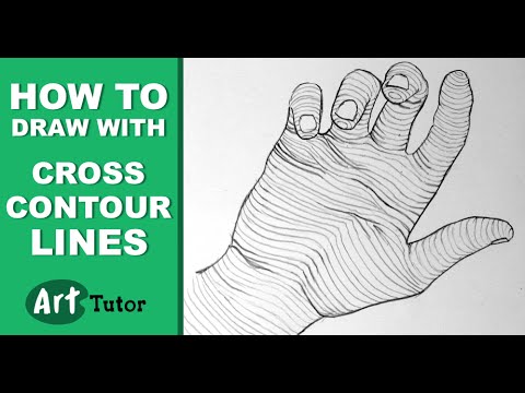
How to Draw With Cross Contour Lines
 0:04:48
Drawing contour lines from grid
 0:10:06
Understanding Cross Contours - Thinking Like a 3D Modeler
 0:13:50
Contour Drawing | Step by Step Art Tutorial
 0:06:18
What is a Contour Drawing
 0:12:10
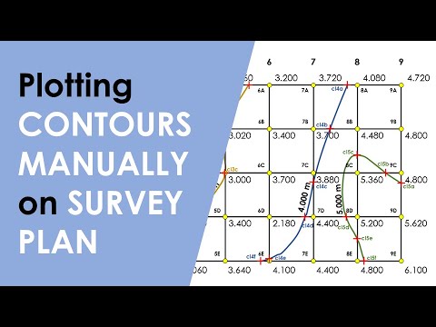
How to Plot CONTOURS on a SURVEY PLAN with REDUCED LEVEL(R.L.) Points/ Interpolation of CONTOURS
 0:07:02
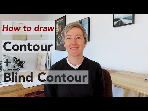
Improve your sketching with BLIND CONTOUR DRAWING!
 0:00:17
Continuous Line Drawing | Quick Contour Portraits
 0:10:35
Cross-Contour: 3D Drawing without Shading (Part 1)
 0:00:32
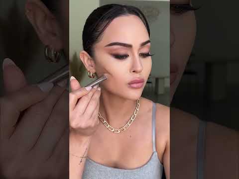
HOW TO: Rosé's nose contour 🌟 #kpop #yesstyle #makeup #contour
 0:00:32
What is blind continuous contour drawing? #drawingexercise #drawinglesson
 0:15:57
How to Draw Contour in QGIS without visiting site | (English)
 0:01:00
Three Cross Contour Hatching Techniques
 0:06:46
Perspective Drawing 21 - Organic Forms and Contour Lines
 0:05:50
Cross Contour Drawing ( Organic Objects )
Комментарии