filmov
tv
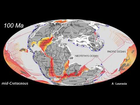
Precambrian Animation by CR Scotese

Показать описание
Ancient times and ancient continents. This animation shows the movements of Rodinia (1100Ma - 750Ma) and Pannotia (600Ma - 560Ma) during the late Precambrian (Neoproterozoic) and early Paleozoic (up to 400Ma). The aniamtion was made using the program GPlates by EarthByte.
Rodinia broke apart as a result of its collision with the Congo craton (~750Ma). North Rodinia swung southward and South Rodinia swung northward, eventually colliding together to form Pannotia (~600Ma).
The Paleozoic continents of Laurentia, Baltica, and Siberia rifted away from Pannotia (580Ma), leaving the supercontinent of Gondwana at the South Pole.
This animation is based on a plate tectonic model that I built in 2006 in preparation for a talk on Rodinia and Pannotia that I presented at the Geological Society of London.
For more information see:
Scotese, C.R., 2009. Late Proterozoic plate tectonics and paleogeography: A tale of two supercontinents, Rodinia and Pannotia, in Global Neoproterozoic petroleum systems: The emerging potential in North Africa, J. Craig, J. Thurow, A. Whitman, and Y. Abutarruma (editors), Geological Society of London Special Publication 326, pp. 67-83.
You can download a copy of Scotese(2009) at:
Music: Gymnopedia No.3 by W. Meixsell
 0:02:20
Precambrian Animation by CR Scotese
 0:01:24
Precambrian Animation by Scotese & Elling v01_082017
 0:06:35
Plate Tectonics, 540Ma - Modern World - Scotese Animation 022116b
 0:00:40
Plate Tectonics & Paleogeography as Viewed from Space - Scotese Animation
 0:04:20
1.5 billion years of Plate Tectonics by C.R. Scotese
 0:00:26
Precambrian animation
 0:00:40
Plate Tectonic & Paleogeography (Present-day to 540 Ma) by CR Scotese
 0:00:16
The changing world. Credit to Christopher scotese
 0:01:12
Plate Tectonics Viewed from North America - Scotese Animation
 0:00:32
Earth Paleomap - Numerical Simulations based on Christopher Scotese analysis
 0:00:27
Test animation ( beta version )
 0:00:32
Earth PaleoMap - Numerical Simulations based on Christopher Scotese analysis
 0:01:28
Animated Maps: Tectonic Plate Movement
 0:00:22
Scotese Plate Tectonics Paleogeography & Ice ages, Faster by x8
 0:01:28
Plate Tectonic FlipBook by C.R. Scotese
 0:01:10
PlateTectonics@Night
 0:02:30
Continental Flooding & Orography by CR Scotese
 0:00:54
Phanerozoic Global Temperatures
 0:03:00
Plate Tectonics 750Ma to Today by CR Scotese
 0:02:30
Plate Tectonics 400 Ma to Today by CR Scotese
 0:02:30
Plate Tectonics 200Ma to Today by CR Scotese
 0:05:00
Continental Breakup - Vignette 02
 0:00:27
laurentia_animation
 0:01:38
Ancient Oceans & Continents: Plate Tectonics 1.5 by - Today, by CR Scotese
Комментарии