filmov
tv
Mapping Global Oil and Gas Infrastructure from Satellites

Показать описание
Recorded on April 22, 2021
0:00 - Intro
3:00 - Oil Refineries and Petroleum Terminals
20:00 - Well Pads
34:32 - AI Challenges and Next Steps
37:17 - Next Steps
38:53 - Special Thanks
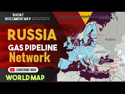
Abstract: At least a quarter of today’s global temperature increases are caused by anthropogenic methane emissions. There are multiple satellites in orbit and planned for launch in the next few years which can detect and quantify these emissions. However, in order to attribute emissions to their sources on the ground, a comprehensive database of the locations and characteristics of emission sources worldwide is essential.
In this talk, we will discuss our work on constructing a global database of infrastructure from the oil and gas sector, one of the largest contributors to global methane emissions. We will describe our approach of using deep learning on remotely sensed imagery to detect and classify various facilities from different parts of the oil and gas supply chain, and present initial results and findings. We will conclude by outlining the technical challenges that remain for constructing a global oil and gas infrastructure database with high fidelity.
Jeremy's bio: Jeremy Irvin is a computer science PhD student at Stanford advised by Professor Andrew Ng. He is broadly interested in developing machine learning techniques to solve problems relevant to climate change. His current research is primarily focused on developing deep learning approaches on remotely sensed imagery for mapping energy infrastructure, identifying the drivers of deforestation, and detecting cloud perturbations due to anthropogenic pollution.
Hao's bio: Hao Sheng is PhD student at the Institute for Computational & Mathematical Engineering at Stanford, advised by Professor Andrew Ng and Sharad Goel. His research interests are applying deep learning techniques (mainly computer vision) to understand climate change better and guide sustainable and fair policies. Recently, he has been working on using remote sensing and street view data to map energy infrastructure, identify the drivers of deforestation and characterize urban built environments (such as transportation infrastructure and surveillance cameras) and the implication of the disparity in their distribution.
0:00 - Intro
3:00 - Oil Refineries and Petroleum Terminals
20:00 - Well Pads
34:32 - AI Challenges and Next Steps
37:17 - Next Steps
38:53 - Special Thanks
Abstract: At least a quarter of today’s global temperature increases are caused by anthropogenic methane emissions. There are multiple satellites in orbit and planned for launch in the next few years which can detect and quantify these emissions. However, in order to attribute emissions to their sources on the ground, a comprehensive database of the locations and characteristics of emission sources worldwide is essential.
In this talk, we will discuss our work on constructing a global database of infrastructure from the oil and gas sector, one of the largest contributors to global methane emissions. We will describe our approach of using deep learning on remotely sensed imagery to detect and classify various facilities from different parts of the oil and gas supply chain, and present initial results and findings. We will conclude by outlining the technical challenges that remain for constructing a global oil and gas infrastructure database with high fidelity.
Jeremy's bio: Jeremy Irvin is a computer science PhD student at Stanford advised by Professor Andrew Ng. He is broadly interested in developing machine learning techniques to solve problems relevant to climate change. His current research is primarily focused on developing deep learning approaches on remotely sensed imagery for mapping energy infrastructure, identifying the drivers of deforestation, and detecting cloud perturbations due to anthropogenic pollution.
Hao's bio: Hao Sheng is PhD student at the Institute for Computational & Mathematical Engineering at Stanford, advised by Professor Andrew Ng and Sharad Goel. His research interests are applying deep learning techniques (mainly computer vision) to understand climate change better and guide sustainable and fair policies. Recently, he has been working on using remote sensing and street view data to map energy infrastructure, identify the drivers of deforestation and characterize urban built environments (such as transportation infrastructure and surveillance cameras) and the implication of the disparity in their distribution.
 0:40:10
 0:14:16
 0:03:16
 0:00:37
 0:03:18
 0:02:44
 0:03:07
 0:06:33
 1:01:22
 0:07:22
 0:04:28
 0:04:26
 0:02:28
 0:03:25
 0:00:59
 0:07:53
 0:00:11
 0:09:08
 0:04:41
 0:02:09
 0:00:27
 0:47:24
 0:04:21
 0:03:37