filmov
tv
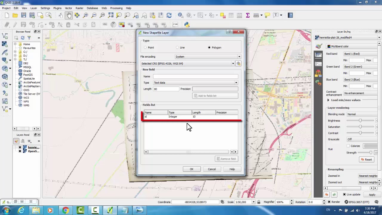
Overlaying Maps in QGIS by Georeferencing
Показать описание
This video will demonstrate how to use QGIS (open source) to overlay a scanned historic map on a current street map using georeferencing.
 0:12:14
Overlaying Maps in QGIS by Georeferencing
 0:08:25
Multiple Criteria Overlay Analysis Using QGIS (Vector Data)
 0:20:42
Multi Criteria Overlay Analysis with QGIS: A Comprehensive Geospatial Tutorial | 26 | @GISSchools
 0:06:18
How to Overlay Maps in QGIS 2.18 Las Palmas
 0:02:45
How to Add Google Maps & Google Satellite as a Base Layer in QGIS3
 0:02:06
QGIS: Overlay Google Maps [TH]
 0:01:25
overlay Google earth in QGIS/Import Google map as base map in Qgis
 0:19:27
Overlaying Compass in GoogleEarth and QGIS Software
 0:04:57
Add Basemap in QGIS || What is Basemap in QGIS
 0:00:58
Layer transparency for raster layers in QGIS
 0:03:04
QGIS Weighted overlay
 0:02:11
Open Google Earth or Bing as a Layer in QGIS
 0:06:42
QGIS overlay
 0:12:13
Download Online Maps and Imagery using QGIS
 0:11:33
Using Google Earth Images in QGIS
 0:02:18
Import an ESRI REST layer into QGIS
 0:05:53
Merge GeoTIFFs with QGIS
 0:08:57
Creating 3D maps in QGIS
 0:13:39
How to Georeference a Map (PDF/JPEG) in QGIS
 0:05:04
Extract Features as Polygons from Openstreet Map in QGIS | QuickOSM Plugin
 0:04:09
Change Layers CRS the correct way in QGIS
 0:03:16
Calculate overlapping land area in QGIS
 0:23:44
Publish QGIS Maps Online Using the GIS Cloud Plugin & Collect Field Data Directly Into QGIS via ...
 0:16:07
QGIS How do I... Make a good looking background map from free OS data?
Комментарии