filmov
tv
How to Create an NDVI image from Remote Sensing data

Показать описание
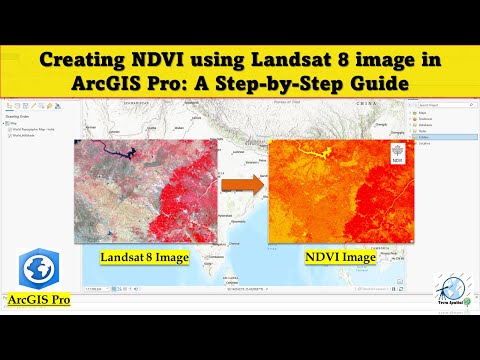
How to get an NDVI image using FME's NDVICalculator transformer. This demo gets Sentinel-2 satellite imagery from AWS and uses the red and infrared spectral bands. NDVI, or "normalized difference vegetation index", is a calculation used to determine the health of plants in a landscape. This transformer performs an NDVI (or SAVI) calculation and applies a color ramp. Greener areas mean healthy vegetation, dark blue is ocean, and red areas mean small amounts of vegetation or water.
 0:05:09
 0:04:09
 0:11:44
 0:08:17
 0:06:33
 0:05:53
 0:05:45
 0:10:30
 0:07:01
 0:15:58
 0:07:31
 0:04:08
 0:02:57
 0:04:32
 0:13:01
 0:04:00
 0:04:44
 0:11:38
 0:18:08
 0:13:27
 0:14:25
 0:09:10
 0:04:48
 0:04:51