filmov
tv
Convert GeoTIFF to PCRaster Format in QGIS

Показать описание
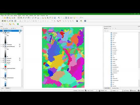
This video covers section 4.6 of the book QGIS for Hydrological Applications, Second Edition, by Hans van der Kwast and Kurt Menke. You'll learn how to convert a GeoTIFF to the PCRaster format. This is an important step for using the PCRaster Tools plugin. You'll also learn about the different choices of data types (boolean, nominal, ordinal, scalar, directional, ldd).
#QGIS #QGISHydro
#QGIS #QGISHydro
 0:01:24
Convert GeoTIFF to PCRaster Format in QGIS
 0:01:27
GIS: .tif to PCraster format conversion in QGIS 3.2
 0:07:17
Prepare raster data for PCRaster model
 0:06:04
Calculate Flow Direction Using PCRaster in QGIS3
 0:02:25
#5 QGIS Raster Conversion To Other Formats
 0:02:56
GeoTIFF and QGIS
 0:14:12
Derive all subcatchments from a DEM using PCRaster in QGIS
 0:01:41
GIS: Convert GeoTiff files to netCDF (2 Solutions!!)
 0:01:20
GIS: Is there a way to convert GeoTIFF to DEM?
 0:03:22
Automatisiert 5000 XYZ Dateien in GeoTiff umwandeln | QGIS | python | pyQGIS
 0:01:20
GIS: How to convert GeoTiff to PNG + World file in QGIS?
 0:00:18
5 QGIS Visualizar GEOTIFF
 0:00:40
Tutorial - Qgis easily export raster in Geotif
 0:05:04
Convert TIFF to XYZ using QGIS
 0:21:37
Use PCRaster map algebra and raster operations in QGIS
 0:08:25
Reclassify rasters with lookup tables using PCRaster in QGIS
 0:00:57
How To Add A GeoTIFF To A Map Using Felt
 0:03:00
GIS: Converting a NetCDF file to GeoTIFF using GDAL? (3 Solutions!!)
 0:06:15
Raster proximity analysis using the spread operations of PCRaster in QGIS
 0:01:44
GIS: Converting HDF to TIFF using batch processing with gdal_translate
 0:03:04
Calculate Flow Accumulation in QGIS using the PCRaster Tools Plugin
 0:09:54
Importing time series tables into PCRaster and interpolation
 0:02:43
GIS: Batch convert jpeg2000 to GeoTIFF? (3 Solutions!!)
 0:09:59
QGIS - How to compress a GeoTIFF image [SUB-ENG]
Комментарии