filmov
tv
Calculate Flow Accumulation in QGIS using the PCRaster Tools Plugin

Показать описание
With the PCRaster Tools plugin you can calculate the flow accumulation from a DEM. The video demonstrates how to convert a raster to the PCRaster format, calculate the flow direction raster (local drain direction) with the lddcreate tool and how to use the accuflux tool.
#QGIS #PCRaster #QGISHydro
#QGIS #PCRaster #QGISHydro
 0:03:04
Calculate Flow Accumulation in QGIS using the PCRaster Tools Plugin
 0:03:05
GIS: How to compute flow direction and flow accumulation with Qgis? (4 Solutions!!)
 0:07:07
Tutorial #2 of 3 - Understanding Flow Accumulation in GIS from raster Data of elevation ?
 0:09:41
Calculate Flow Accumulation with PCRaster in QGIS and 3D visualisation with Aerialod
 0:05:32
Calculate and Visualise Flow Direction in QGIS
 0:06:54
How to do Stream Flow map in QGIS
 0:06:28
Calculate TWI in QGIS
 0:09:33
Delineate watershed area in QGIS || Delineate catchment area in QGIS
 0:07:29
Using different flow accumulation tools of PCRaster in QGIS
 0:02:36
Lab 11-3 Flow Direction to Flow Accumulation
 0:10:22
Tutorial #1of 3 - How to find flow direction GIS from raster data of elevation ?
 0:08:15
Visualisation of flow directions using 'Arrow' symbols #Qgis #FlowDirection
 0:14:25
Deriving River Network and Catchments and Watershed Delineation from a DEM using QGIS
 0:25:54
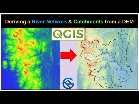
Deriving River Network & Catchments from a DEM using QGIS
 0:00:40
Part 2: Calculate flow direction using r.fill.dir (GRASS) and the DEM from Equator
 0:00:59
Part 4: Use the raster calculator on the flow accumulation layer
 0:02:23
#15 QGIS - How to fill up sinks in your DEM Layer
 0:06:25
Style SAGA flow direction raster with a directional legend
 0:01:26
Flow Accumulation Tool ArcGIS
 0:00:58
Part 3: Calculate flow accumulation using r.watershed (GRASS) and the DEM from Equator
 0:03:27
GIS 4.7.6 Understanding Flow Direction
 0:07:05
Calculate Height Above the Nearest Drainage (HAND) with QGIS using the PCRaster Tools Plugin
 0:21:51
Lab 15 - U-5 Proximidad distancia raster y flow accumulation con QGIS
 0:03:02
Visualisation of SAGA Flow Direction Map in QGIS - Updated!
Комментарии