filmov
tv
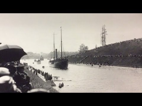
Puget Sound History and Cartography (1891)

Показать описание
Puget Sound history and cartography is explored and examined from this vintage map that was originally produced in 1891. In the video we zoom in and look at various historical aspects that make this map so great.
In the video we also give a brief background to the history of the area which includes information about: Lt. Peter Puget, George Vancouver expeditions and explorations, The Hudson Bay Company, fur trading and Native American terminologies for the area.
In the video we also give a brief background to the history of the area which includes information about: Lt. Peter Puget, George Vancouver expeditions and explorations, The Hudson Bay Company, fur trading and Native American terminologies for the area.
 0:09:57
Puget Sound History and Cartography (1891)
 0:13:11
Geology of Seattle and the Puget Sound
 0:28:55
Geological History of Puget Sound
 0:03:16
The REAL name for Puget Sound | Mossback’s Northwest
 0:08:05
How the Puget Sound was created
 0:08:13
The Puget Sound War
 0:01:48
Drawn History: Washington State | History
 1:11:10
Homewaters: A Human and Natural History of Puget Sound
 1:00:20
Salish Sea Science Roundtable 09.03.24 | Sea level rise resiliency
 0:08:13
The Puget Sound War (Washington's Woes III) : 2W1C S03E39
 0:01:19
Washington State Territory Puget Sound 1862 nautical chart Civil War old map
 0:02:40
Tsunami wave simulation for central Puget Sound, Wash.
 0:06:04
Seattle Washington History and Cartograph (1884)
 0:59:32
Schmidt House History Talks - Geology of Puget Sound
 0:07:07
Seattle Washigton History and Cartography (1878)
 0:59:00
Seattle's Waterway to the World
 0:08:43
NAS Puget Sound History
 0:04:25
Puget Sound’s Exotic Terranes | Nick on the Rocks
 0:07:24
Dive to the bottom of Puget Sound in OceanGate's Cyclops 1 submersible
 1:14:16
Homewaters: A Human and Natural History of Puget Sound
 0:05:17
CityStream: New book 'Homewaters' explores the rich history of Puget Sound
 0:02:04
University of Puget Sound removes name of professor from on-campus museum
 0:02:16
Anderson Island, Puget Sound's Secret Island
 0:51:40
Mapping the Glacial Legacy of the Pacific Northwest - Daniel Coe, WA-DNR
Комментарии