filmov
tv
How to download and print topographic maps for Australia

Показать описание
Step by step guide on links and where to access official Australian topographic maps. Walk through the steps with Caro Ryan from LotsaFreshAir for printer settings and options to check you're printing map sections to scale (or not, if that's not important for you).
PLEASE SUPPORT MY CHANNEL and buy me a coffee!
📥 GET YOUR FREE PACKING LIST DOWNLOADS AND LOADS OF HIKING RESOURCES
About Caro▸
I grew up in Sydney, Australia in a family that never went camping or on outdoor adventures. So it came as a surprise to discover hiking and camping in my mid 20’s and it fast became somewhat of an obsession.
Since then, I’ve become a leader with the Sydney Bush Walkers Club, Search Manager with NSW SES Bush Search and Rescue (responsible for the Blue Mountains region), navigation teacher and author of 'How to Navigate - The art of traditional map and compass navigation in an Australian context.'
I'm passionate about connecting people to wild places in meaningful ways that look after both people and these precious places.
Apart from sharing tips here on my YouTube channel, my website and socials, you can find me as a regular contributor to Wild Magazine, Great Walks Magazines and other outdoors press. You might even catch me live on ABC radio Weekends with Simon Marnie and appearing as a speaker and workshop host at events such as Bushwalking Australia Conferences, ProBlogger, ORIC (Outdoor Recreation Industry) Conference, SheWentWild or the Women’s Adventure Summit. I am a member of the ASTW (Australian Society of Travel Writers) and you can also find me on TravMedia.
I am a brand ambassador for Macpac and some of the links within my site are affiliates. This means that I may earn a small commission from what you may purchase, whilst you pay no more. A nice win-win way of supporting my work that I really appreciate. Thanks!
Brands may buy my time, but they can't buy my opinion.
 0:06:27
How To Download and Print PDF Sewing Patterns | Step by Step Tutorial
 0:07:26
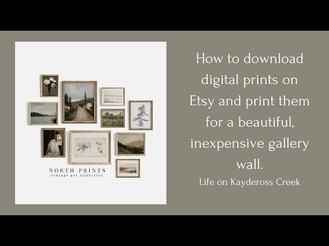
How to download and print digital prints from Etsy
 0:02:29
How to Download and Print your Etsy Printables l Download Etsy Digital Downloads To Your Computer
 0:02:02
How to Print a File || Print a Documents || Computer Basic for Beginners in English
 0:01:30
How to Print and Download your Documents Online
 0:06:52
How to download and print a pdf sewing pattern on Etsy
 0:16:13
How To Print Free Printables | Download + Decorate your Home for Free!
 0:03:32
How to Download and Print a Receipt or Invoice from Amazon | 3 Super Easy Ways |
 0:04:46
How to Print Digital Downloads from Etsy to Walgreens (UPDATE- SEE MY COMMENT BELOW)
 0:04:40
Ration Card Download and Print | Ration Card Download Malayalam | Kerala Ration Card Download
 0:05:12
Tutorial: How to Download and Print a Template or Design from Canva. 2021! Three easy ways to Print
 0:09:08
How To Buy, Download, Print, and Assemble PDF Sewing Patterns | Pattern Scout Patterns
 0:06:22
Part 1: Printers & Paper, How To Print Etsy Digital Download Files
 0:14:32
How to download and print PDF Sewing patterns
 0:01:33
How To Download A Print Ready File In Canva 2024 (Quick Tutorial)
 0:06:46
How To Download and Print Digital Downloads (Printables) From Etsy
 0:02:49
How To Download and Print Invoices From Amazon - Full Guide
 0:01:52
How to print or download or convert Google forms as Pdf file ||2020
 0:03:15
How to Download, and Install CREALITY PRINT 5.0
 0:00:54
How to view, download, or print your bill in Microsoft 365 for business
 0:06:08
How to Print Digital Invitations | Download Etsy Orders | Step By Step | Designs on Etsy | EASY
 0:08:57
Part 2: File Types, Resizing, Etc., How To Print Etsy Digital Download Files
 0:01:53
How to Download PDF Print Files from Canva
 0:10:24
How to download and print topographic maps for Australia
Комментарии