filmov
tv
Prediction of Land Use/Land Cover Change using QGIS and ArcGIS (2010-2020-2030)

Показать описание
Today I’ll show you how to prepare Land use and land cover prediction map using MOLUSCE Plugin of QGIS (Modules for Land Use Change Evaluation).
In this tutorial I will do prediction map for the year of 2030.
For doing this, along with LULC map, you need to create some variable maps like DEM, Distance from Road, Distance from River, Slope, distance from settlement etc. that can be influenced to change the future land use and land cover. Here I am using Distance from road and DEM as variables.
Remember that, All Maps need to be prepared and saved in same spatial resolution and geographical references.
I have prepared a manual for Land use change prediction. IF YOU Need then, write your email in the comment section of this video. I’ll send you then. If you like this video, then you can consider SUBSCRIBING this channel to get cool GIS.
Watch my video along with the instruction and then try to make your LULC prediction map. If you don’t know how to prepare LULC map, check my videos. Also, if you don’t have country shapefile, road shapefile etc. just check my videos how to download shapefiles for any country.
Related Tags: lulc prediction, how to predict land use and land cover, MOLUSCE plugin, Land use and land cover change prediction using QGIS, LULC prediction using GIS, how to simulation LULC, Land use and land cover map prediction, LULC Prediction, LULC time series prediction
#LULC_prediction #ArcGIS_Tutorial #GIS_RS_SOLUTION
 0:14:39
Prediction of Land Use/Land Cover Change using QGIS and ArcGIS (2010-2020-2030)
 0:00:22
Prediction of Future Land Use with GIS CA Markov Machine Learning
 0:07:17
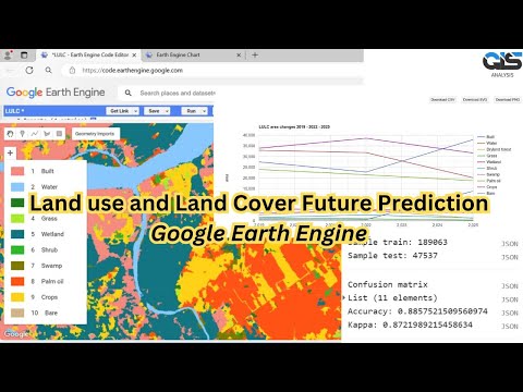
Predict Future Land Cover in Google Earth Engine
 0:09:49
LULC change detection & Prediction with MOLUSCE Tool in QGIS
 0:19:54
LULC Prediction Tutorial Part 1: Land Use/Land Cover Map
 0:13:42
Prepare future Land Use Change Prediction Map using Google Earth Engine and ArcMap
 0:10:44
Land use Land Cover (LULC) Prediction Map (2025) Using Random Forest Classifier ||Google Earth Engin
 0:10:15
Future Prediction of LULC Using Cellular Automata Model || ANN || CA-Marko Chain || QGIS || ArcMap
 0:57:19
Google Earth Engine: An Introduction for Complete Beginners for GIS and Remote Sensing analysis
 0:15:41
LULC Prediction Tutorial Part 3: Prepare future Land Use Change Prediction Map
 0:15:53
LULC Prediction Tutorial Part 1:Prepare future Land Use Change Prediction Map | Variable preparation
 0:08:27
Prediction of Future Land use Land cover changes using Machine Learning in Google Earth Engine
 0:18:46
Part 1: Land Cover Classification in Google Earth Engine for Simulated Future Land Cover Change
 0:10:01
Land use/Land cover Change detection Analysis for an Area over a certain timeline like 1989 to 2020
 0:14:05
Land Use Land Cover or Urban Growth Prediction Using IDRISI SELVA and TERRASAT | Tech Geographer |
 0:03:32
How to validate land use land cover prediction in IDRISI Selva and Terrasa || Tech Geographer ||
 0:11:28
Prediction of LULC changes for species distribution modeling using cellular automata and ANN
 0:14:04
FUTURE PREDICTION (2030, 2040 And 2050) With Help OF QGis
 0:29:53
LULC change detection using ArcGIS | 2001 & 2021
 0:37:47
MOLUSCE 4 — LULC change detection and prediction with free QGIS tool. Land Use Change Simulations
 0:38:47
Land use land cover image classification using deep learning | EuroSat | ResNet50 | GeoDev
 0:14:36
Prediction of Land Use/Land Cover Change using QGIS and ArcGIS (2010-2020-2030)
 1:13:10
🛑How to make LANDUSE AND LAND COVER CHANGE mapping using Google Earth Engine | LULC change detection...
 0:08:56
LULC Prediction Tutorial Part 2: Variables Preparation (Distance from Road, River, Slope etc.)
Комментарии