filmov
tv
Python Maps with ipyleaflet

Показать описание
In this Python tutorial, we will go over how to create maps with ipyleaflet. Examples include: map types, geocoding, adding markers, adding geojson layers, choropleth map, heat map, full screen control, draw control, measure control, split screen maps, and using ipyleaflet with ipywidgets.
 0:33:25
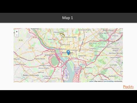
Python Maps with ipyleaflet
 0:00:30
Using GeoPandas with ipyleaflet
 0:07:59
Jupyter In Depth : Ipyleaflet | packtpub.com
 0:26:27
GeoSoft Lesson 19 - Using GeoJSON with ipyleaflet
 0:00:15
Creating a marker-cluster map with different icon styles
 0:37:48
GeoSoft Lesson 15 - Getting Started with ipyleaflet for Interactive Mapping
 1:17:39
GEOG-510 Week 10 - Using ipyleaflet and folium
 0:00:12
Animating global wind speed using ipyleaflet and geemap
 0:40:55
GeoSoft Lesson 35 - Using WhiteboxTools with ipyleaflet
 0:13:26
GeoSoft Lesson 34 - Developing an Interactive Toolbar GUI for ipyleaflet
 0:46:48
GeoSoft Lesson 20 - Using shapefile with ipyleaflet
 0:09:00
Python Maps with mplleaflet
 0:00:19
A fun experiment with ipysheet and leafmap - A plot in a map in a cell in a sheet
 0:12:14
GEE Tutorial #2 - Using basemaps in geemap and ipyleaflet for interactive mapping with Earth Engine
 0:00:47
geemap v0.8.3 released - A Python package for interactive mapping with Google Earth Engine
 0:00:22
Exciting news! Google Colab now supports ipyleaflet
 0:04:44
Interactive Shapefile exploration in Jupyterlab with Ipyleaflet and Voila - Tutorial
 0:30:41
Python Maps with Folium
 0:15:59
Interactive Python Plots With IPyWidgets
 0:00:30
Finding k Shortest Paths in Python using OSMnx
 0:29:22
GeoSoft Lesson 27 - Using Google Earth Engine with ipyleaflet
 0:00:17
Creating linked maps using leafmap
 0:01:44
Introducing leafmap - A Python Package for Geospatial Analysis and Interactive Mapping
 0:08:24
GEE Tutorial #1 - Introducing the geemap Python package for interactive mapping with Earth Engine
Комментарии