filmov
tv
Introduction to Change Detection using Maps

Показать описание
In this From The Ground Up Session, we will have a look at the concept of Maps in Trimbles eCognition Developer software.
What are Maps?
Why should I use Maps?
How can I use Maps?
All these questions will be answered in this session. We actually will show how you can do change detection using different Maps within eCognition Developer. Maps are of course not limited to Change Detection but this is a nice use case which reveals the power of the Maps concept.
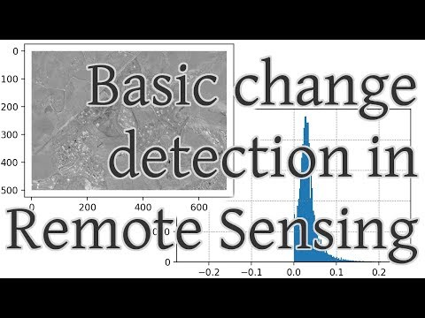
For the Change detection we will have two optical data sets acquired at different time steps. After loading them we will create a Map within one project for each time step and apply a Land Cover Classification on each single time step separately. In a final step we will fuse the two classifications into one and compare them to reveal areas of change and also direction of change.
______________Video Content_________________
00:00 - What are Maps?
01:29 - How to create Maps?
02:27 - Applications of Maps?
06:00 - Why using Maps?
07:07 - Change Detection using Maps
10:58 - Loading data and setting up project
14:44 - RS - Creating Maps
19:25 - RS - Classifying Vegetation and Non-Vegetation
32:34 - RS - Synchronize Maps
37:48 - RS - Change Detection
53:25 - RS - Export Results
(⊙_☉)
 1:42:25
 0:56:21
 0:15:16
 0:04:33
 0:04:23
 0:03:24
 0:18:06
 0:06:33
 0:06:11
 0:05:19
 0:12:56
 0:29:53
 0:05:50
 0:49:38
 0:03:52
 0:03:07
 0:08:39
 0:50:55
 0:58:44
 1:01:02
 0:33:40
 0:02:14
 0:10:16
 0:27:54