filmov
tv
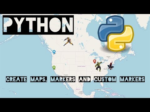
Display Interactive Maps in Python using Flet | Part 2

Показать описание
Flet v0.25 is here, bringing several community-requested features to the Map control, including programmatic rotation, precise point navigation, and zoom in/out capabilities. This update also introduces some breaking changes to be aware of when upgrading. In this video, I'll walk you through everything you need to know about these new features and how to handle the breaking changes.
TIMESTAMPS
00:00 Introduction
00:23 Upgrading to Flet v0.25
01:34 Breaking changes in the Map control and Migration
03:26 Launching a simple app and features-presentation
04:59 Programmatic Rotation with Animations
08:22 Programmatic Precise Point Navigation
10:16 Programmatic Zooming
12:08 Programmatic Centering on a point
12:50 Recapitulation and Conclusion
Useful links from video:
More about Flet:
Checkout my social profiles:
- Discord Username: the_ethical_boy
If you enjoyed the content of this video, please like 👍 it and subscribe to this channel, if you haven't already! 👾
Made by Henri Ndonko aka TheEthicalBoy - Active Flet Contributor and Maintainer
#flet #python #flutter #maps
 0:03:24
How to Create INTERACTIVE MAPS in Python
 0:10:58
How to Make Interactive Maps with Python - Scatter Mapbox Example with Plotly and OpenStreetMap
 0:16:26
Display Interactive Maps in Python using Flet | Part 1
 0:22:37
Interactive maps using Folium | Python
 0:13:26
Display Interactive Maps in Python using Flet | Part 2
 0:14:44
Create Gorgeous Maps with Prettymaps + Python
 0:14:12
Mapping with Python & Folium - Creating Maps from Raw CSV/JSON Data
 0:17:19
Python Interactive Maps with Folium | Part 1
 0:00:35
Introducing the mapwidget Python package for creating 3D maps in a Jupyter environment
 0:10:01
Interactive Route Line Map in Python using folium
 0:15:21
How to Make an Interactive Map Using Python and SQLite Data
 0:30:38
Plotting Choropleth Maps using Python (Plotly)
 0:18:13
Plotting Choropleth Maps in Python using Geopandas
 0:15:09
plotting maps with geopandas and matplotlib
 0:12:45
Introduction to Folium for interactive maps in python
 1:02:47
Create Interactive Maps & Geospatial Data Visualizations With Python | Real Python Podcast #143
 0:04:21
Plotting Geospatial data with Python - Folium - Part 1
 0:54:24
Tutorial 4: Interactive maps with Python (Plotly, Folium)
 0:29:21
Introduction to Dash Plotly - Data Visualization in Python
 0:18:50
Python - Create Maps with Folium and Leaflet
 0:00:19
Python Maps Tech Giants 🌎📍#PythonPower #DataVisualization #GeospatialData #code #computerscience...
 0:11:10
Interactive Maps in Python on COLAB + FOLIUM & GEOPANDAS
 0:30:41
Python Maps with Folium
 1:14:28
Create Dashboard with Folium Map, Streamlit and Python - Full Course
Комментарии